 RiverFinn
Supported waters
73 river sections on 58 rivers, in 5 states.
Every stretch RiverFinn covers today, and every one of them is free in the app, in full. A section is a stretch of river with its own gauge, weather grid, rules and species — the unit the app rates and Finn talks about. A river with several supported stretches is listed once per stretch.
Colorado
15 sections-
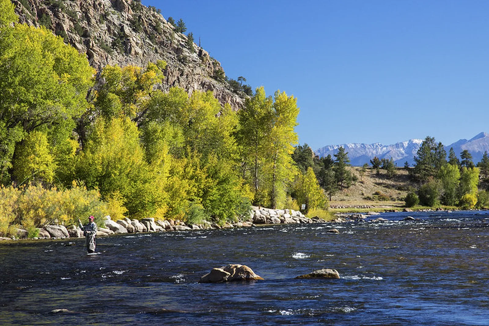 Browns CanyonArkansas River · FreestoneLive flow
 -
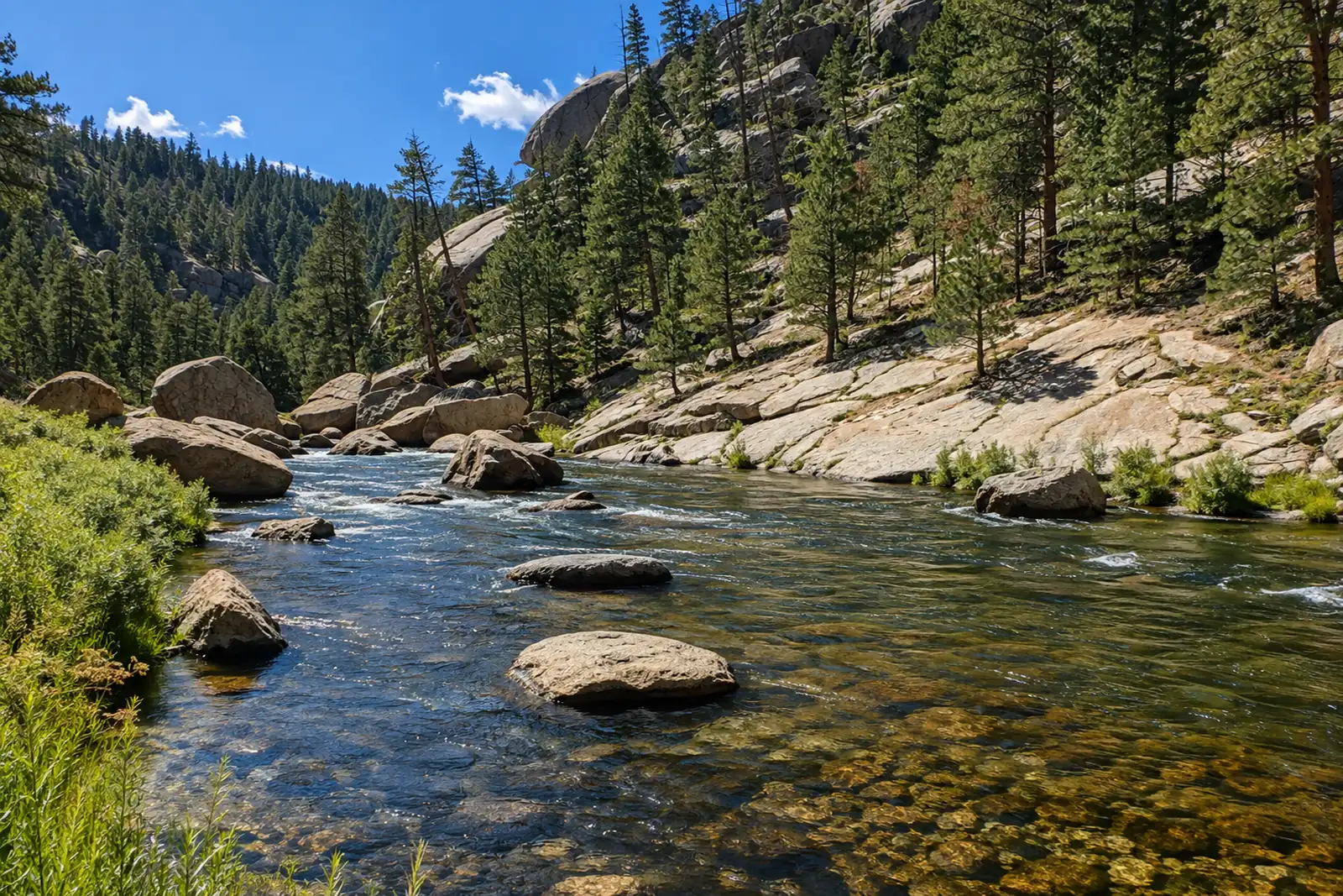 Cheesman CanyonSouth Platte River · TailwaterLive flow
 -
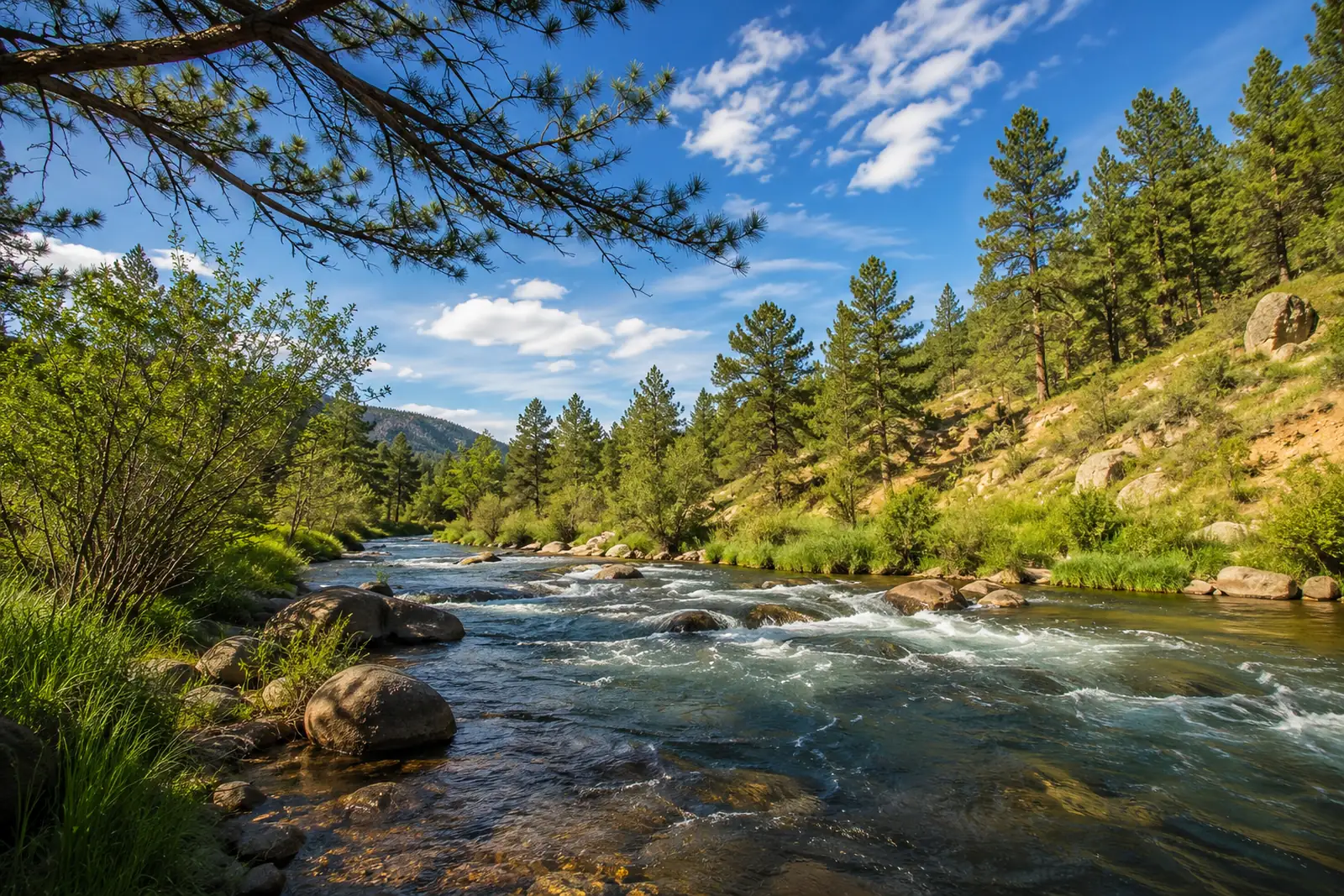 DeckersSouth Platte River · FreestoneLive flow
 -
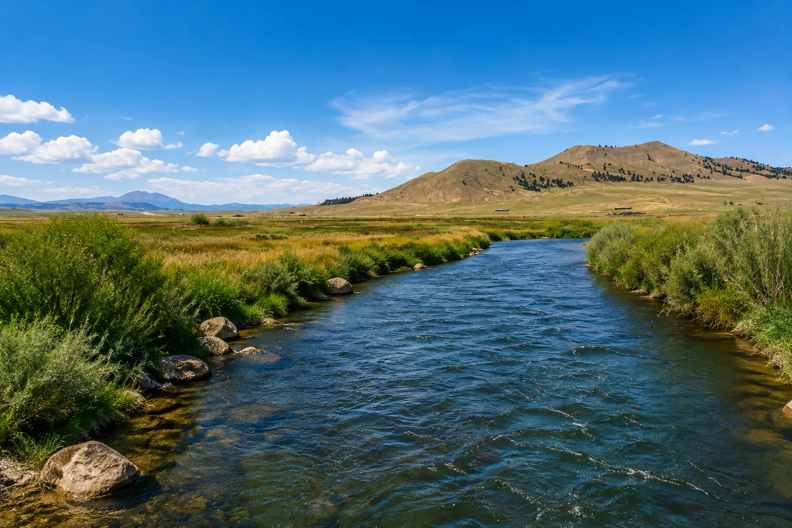 Dream StreamSouth Platte River · FreestoneLive flow Water temp
 -
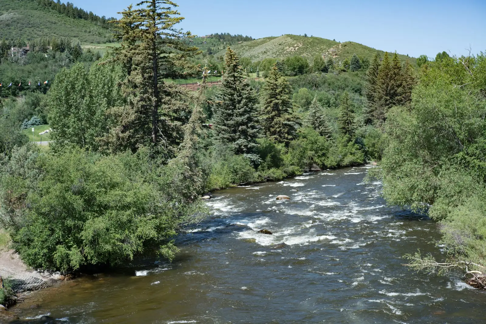 Eagle — Wolcott to GypsumEagle River · FreestoneLive flow Water temp
 -
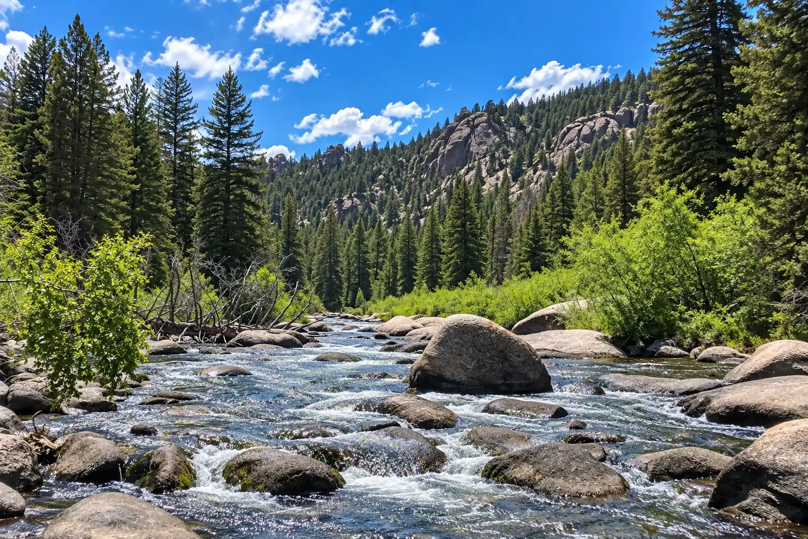 Eleven Mile CanyonSouth Platte River · TailwaterLive flow Water temp
 -
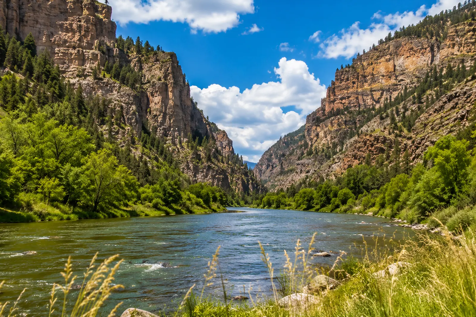 Glenwood CanyonColorado River · FreestoneLive flow Water temp
 -
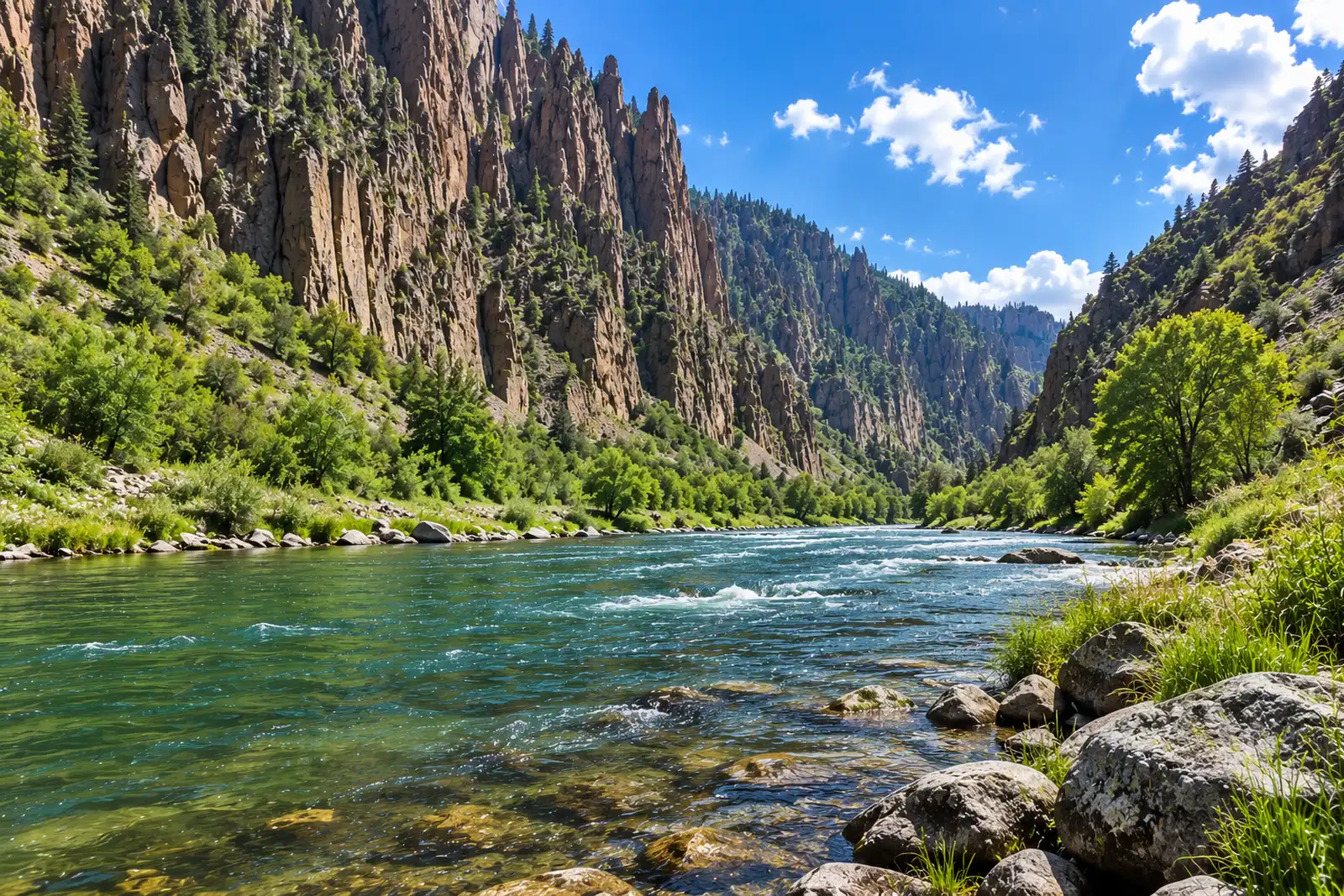 Gunnison — Almont to GunnisonGunnison River · FreestoneLive flow Water temp
 -
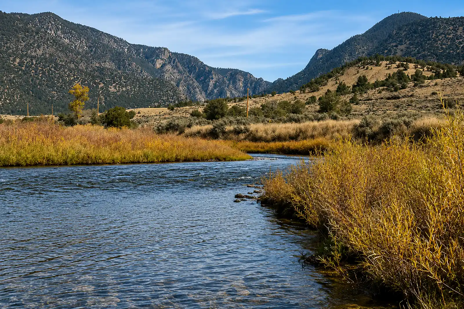 PumphouseColorado River · FreestoneLive flow Water temp
 -
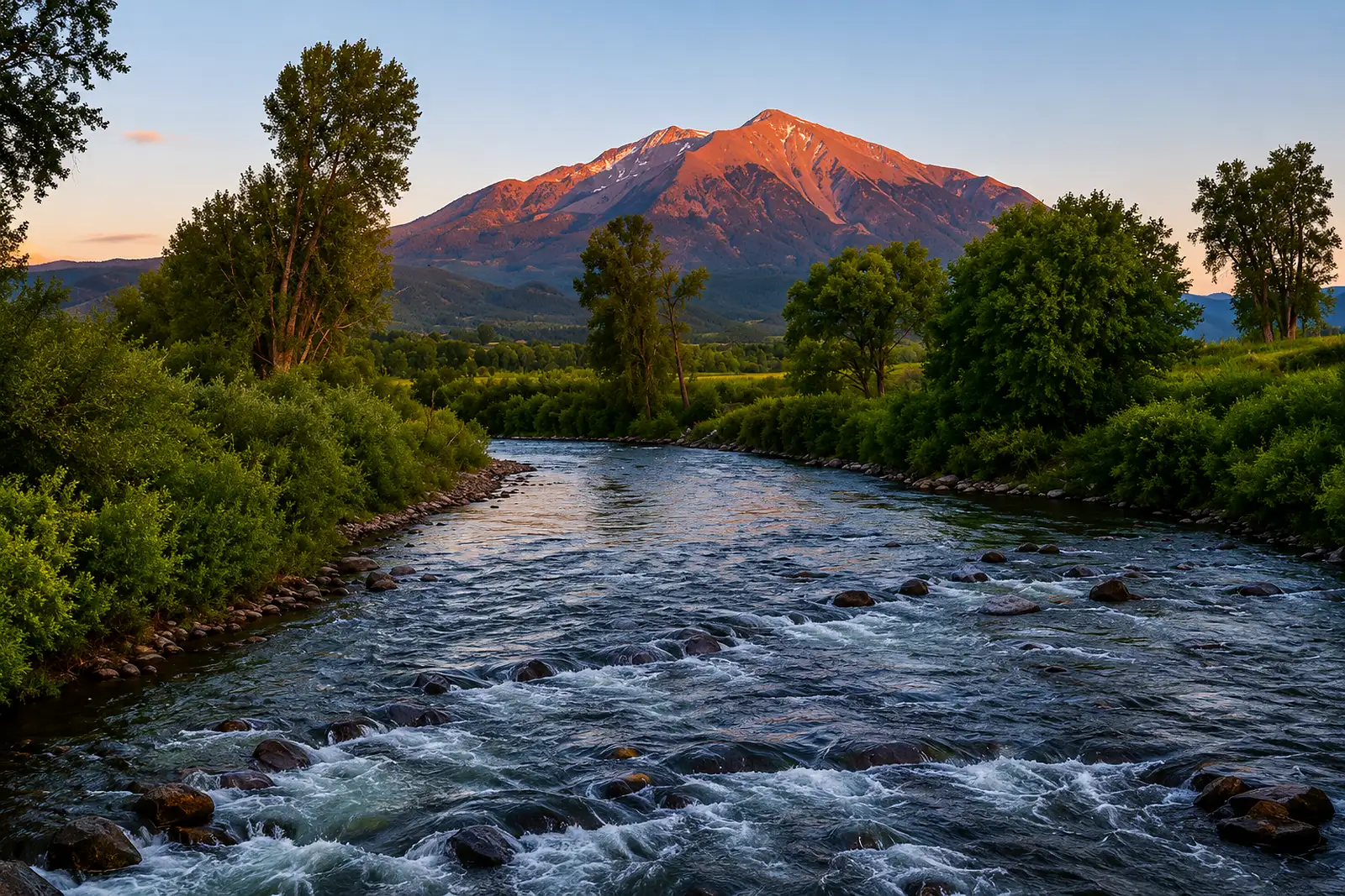 Roaring Fork — Basalt to CarbondaleRoaring Fork River · FreestoneLive flow Water temp
 -
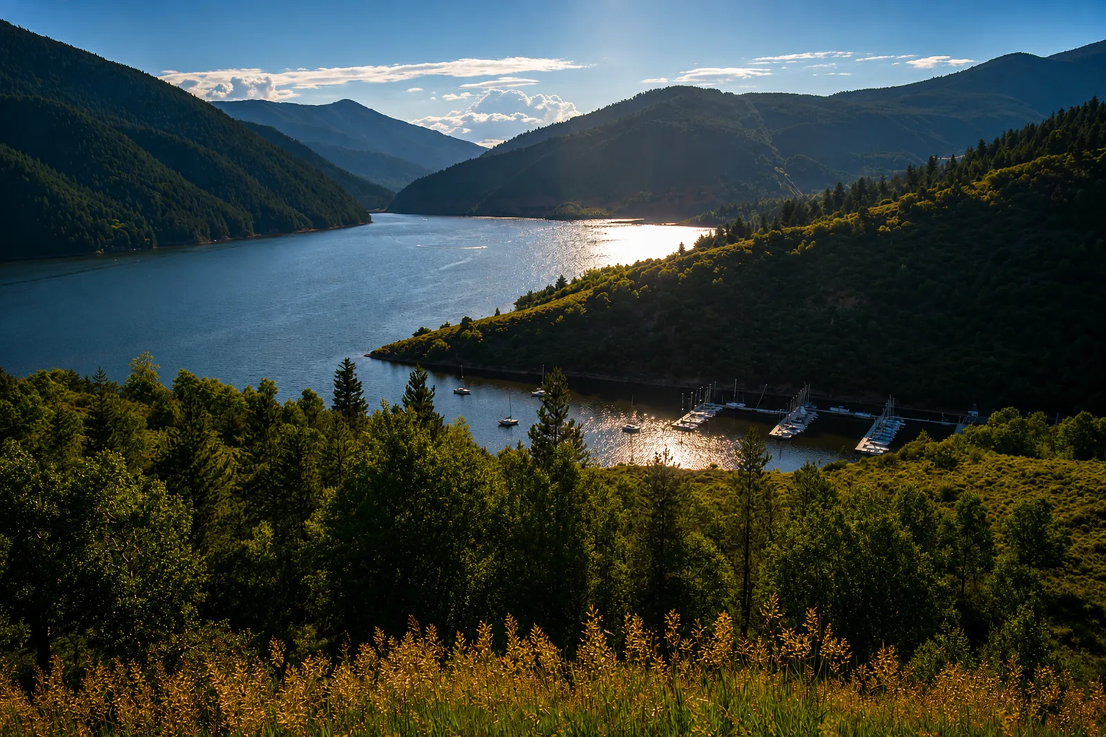 Ruedi TailwaterFryingpan River · TailwaterLive flow
 -
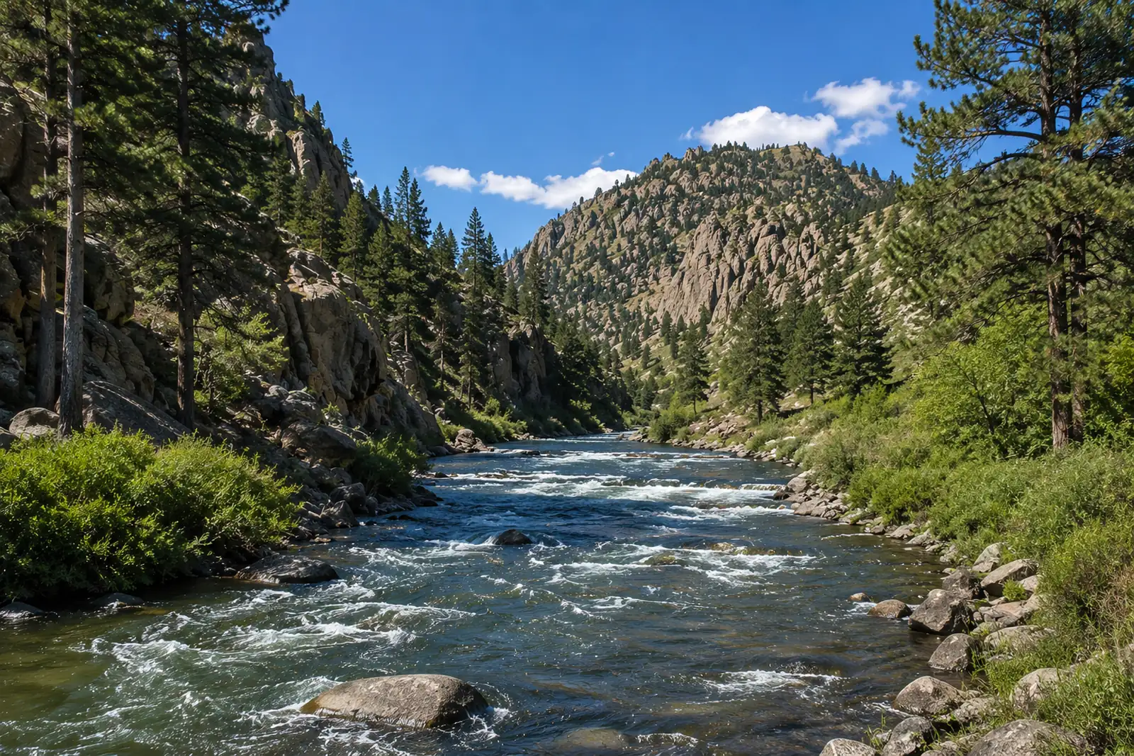 SalidaArkansas River · FreestoneLive flow
 -
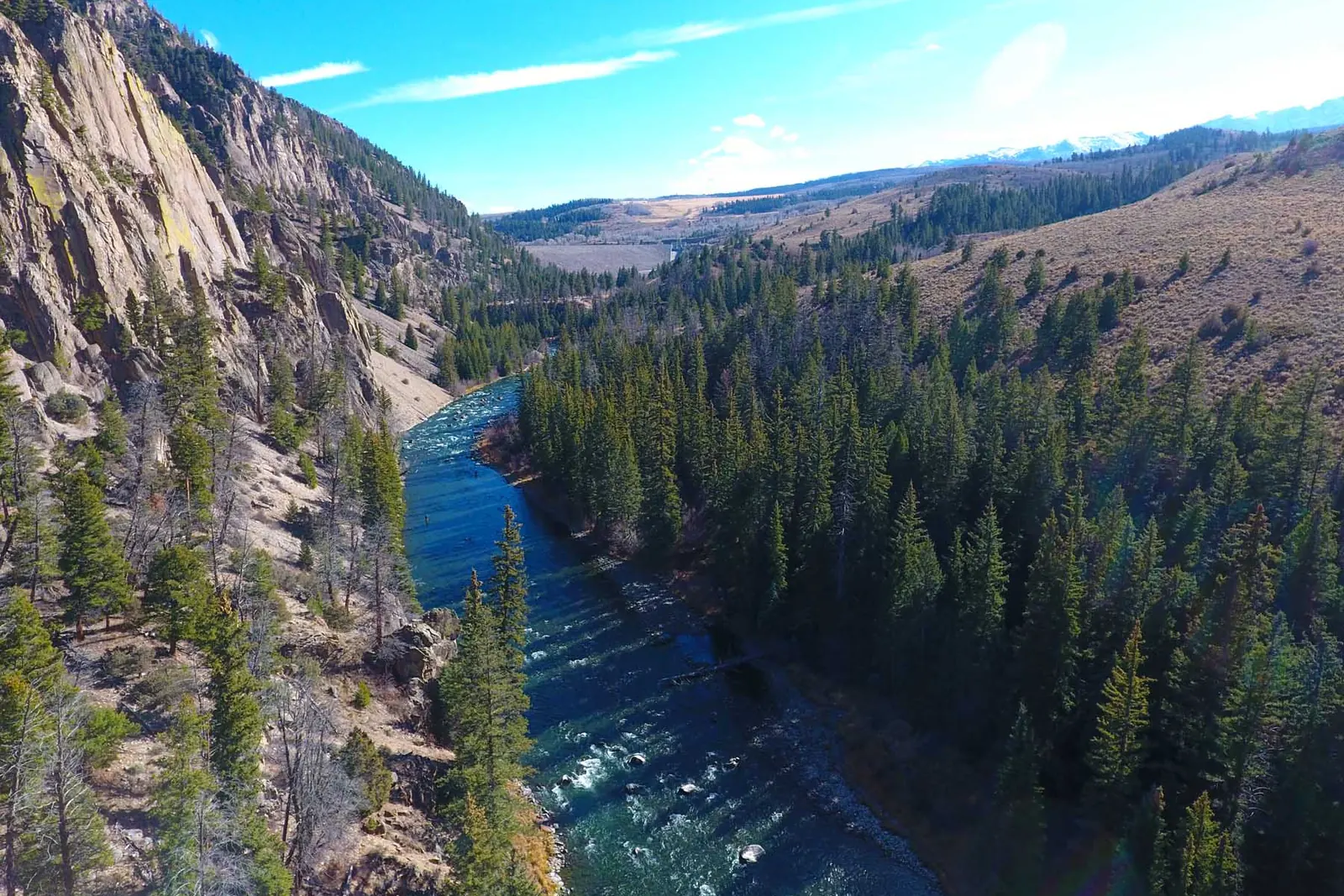 Silverthorne TailwaterBlue River · TailwaterLive flow Water temp
 -
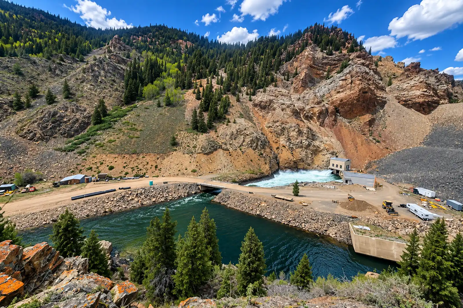 Taylor — Taylor Park TailwaterTaylor River · TailwaterLive flow
 -
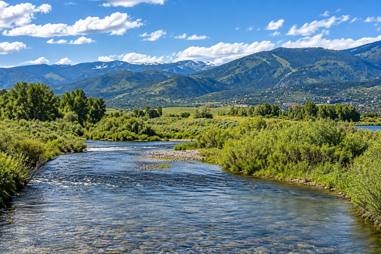 Yampa — Steamboat SpringsYampa River · FreestoneLive flow Water temp
Montana
14 sections-
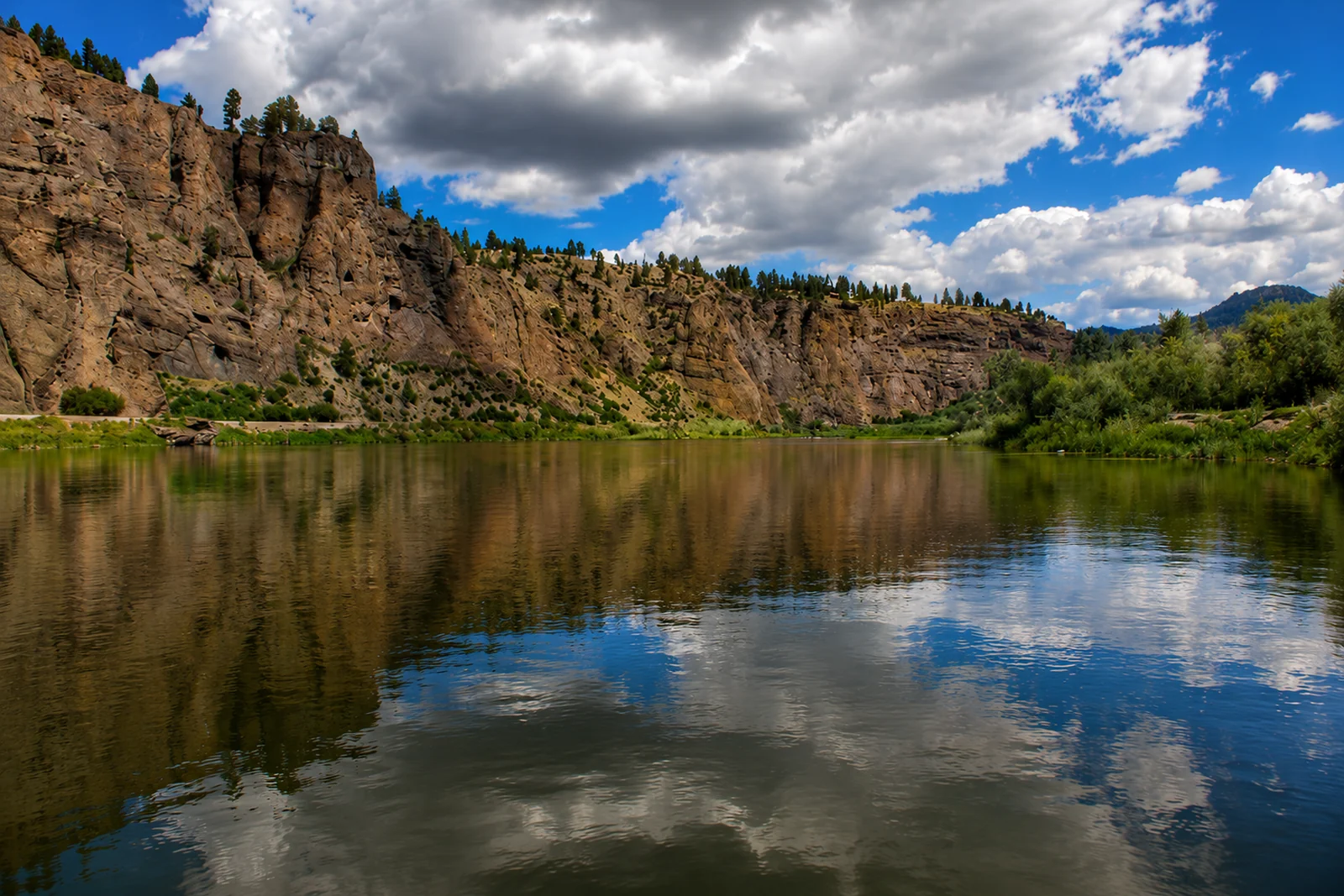 Beaverhead — Clark Canyon TailwaterBeaverhead River · TailwaterLive flow
 -
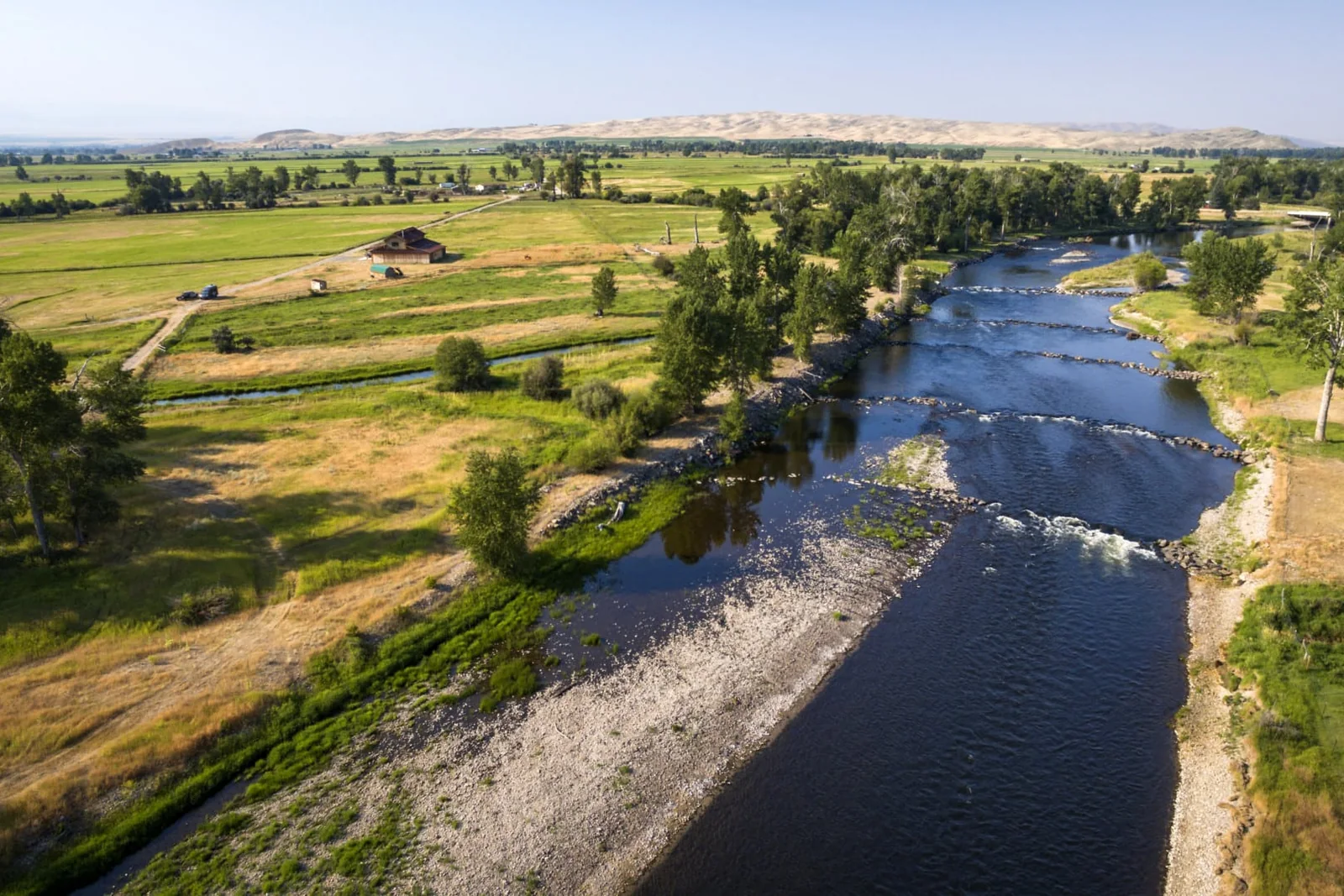 Big Hole — Glen to Twin BridgesBig Hole River · FreestoneLive flow Water temp
 -
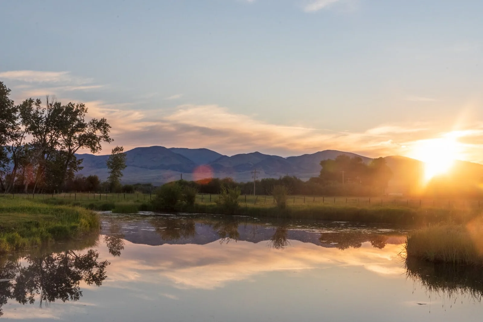 Big Hole — MelroseBig Hole River · FreestoneLive flow Water temp
 -
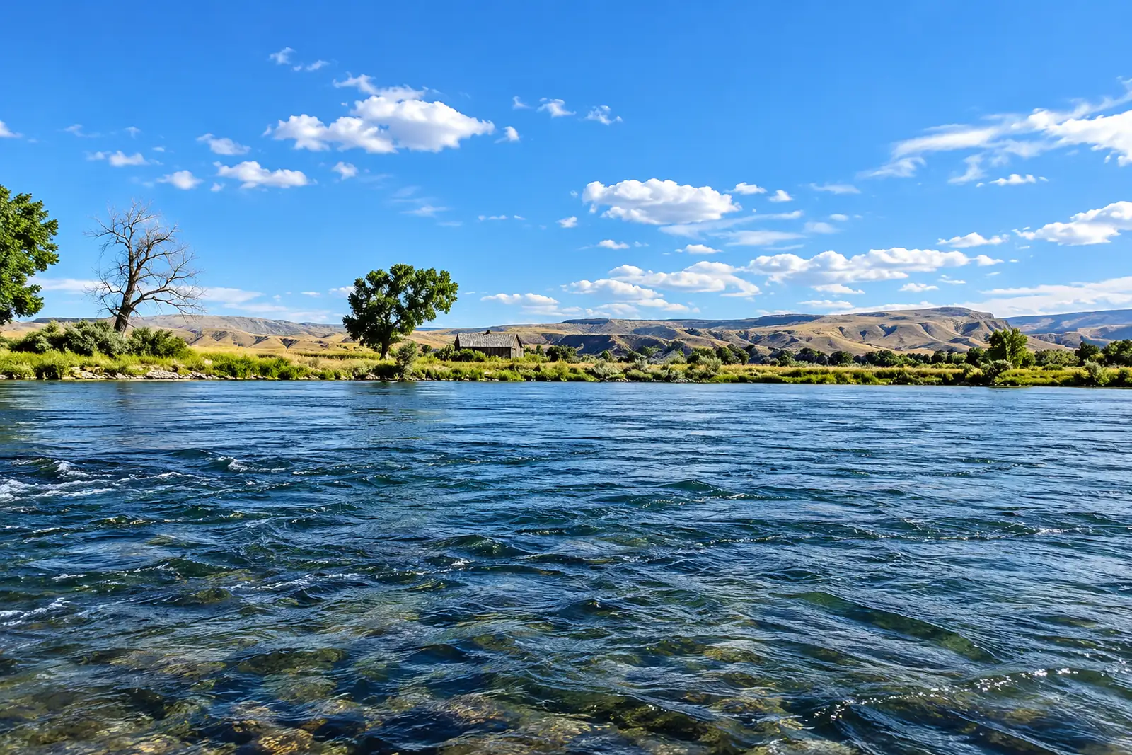 Bighorn — Afterbay TailwaterBighorn River · TailwaterLive flow Water temp
 -
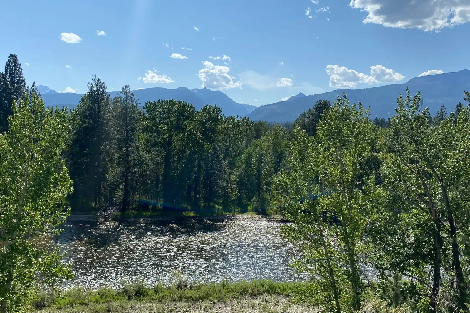 Bitterroot — Darby to HamiltonBitterroot River · FreestoneLive flow Water temp
 -
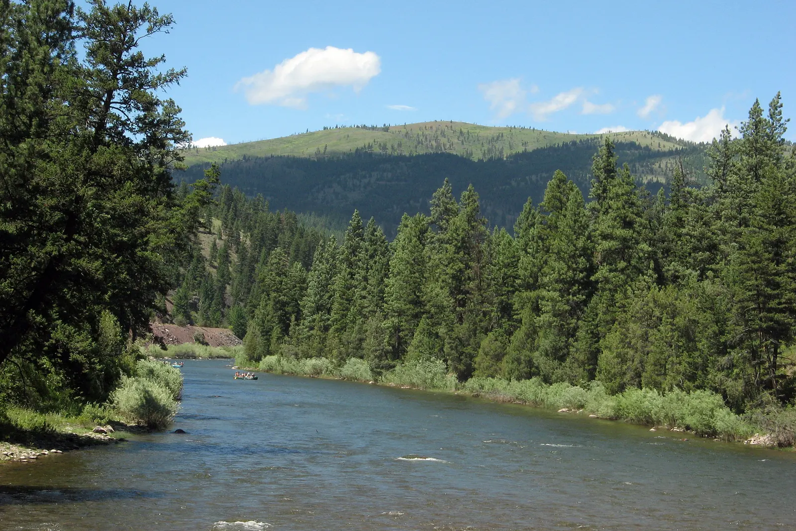 Blackfoot — Lower CanyonBlackfoot River · FreestoneLive flow Water temp
 -
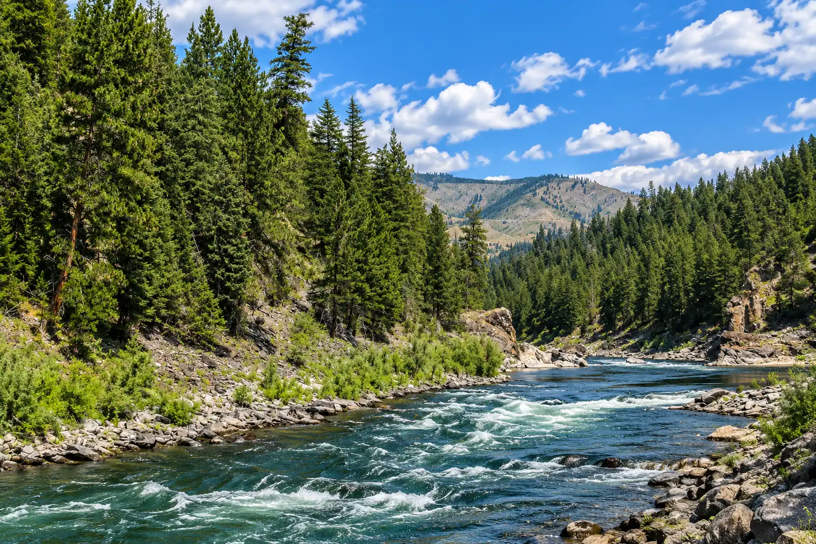 Clark Fork — MissoulaClark Fork River · FreestoneLive flow Water temp
 -
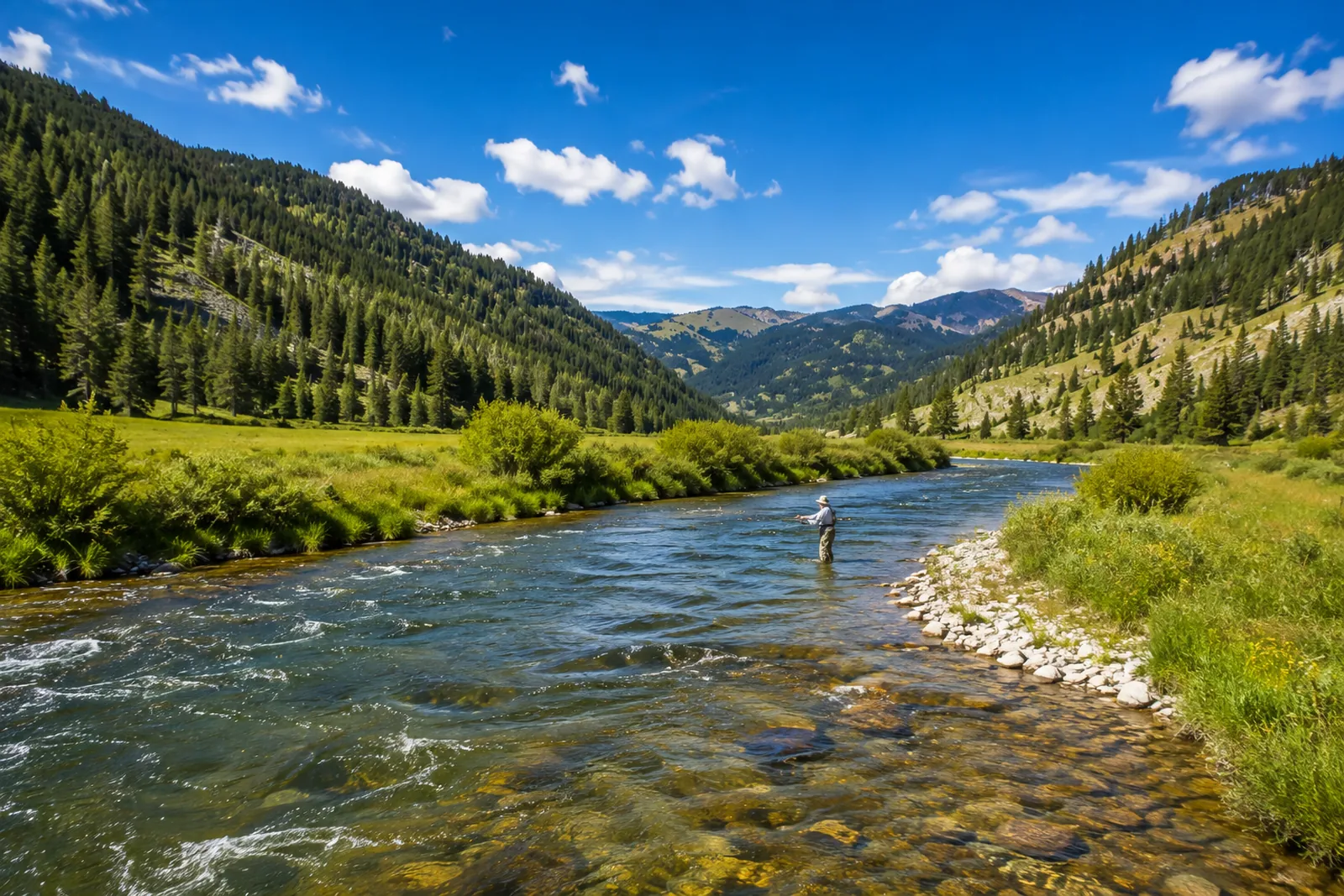 Gallatin CanyonGallatin River · FreestoneLive flow Water temp
 -
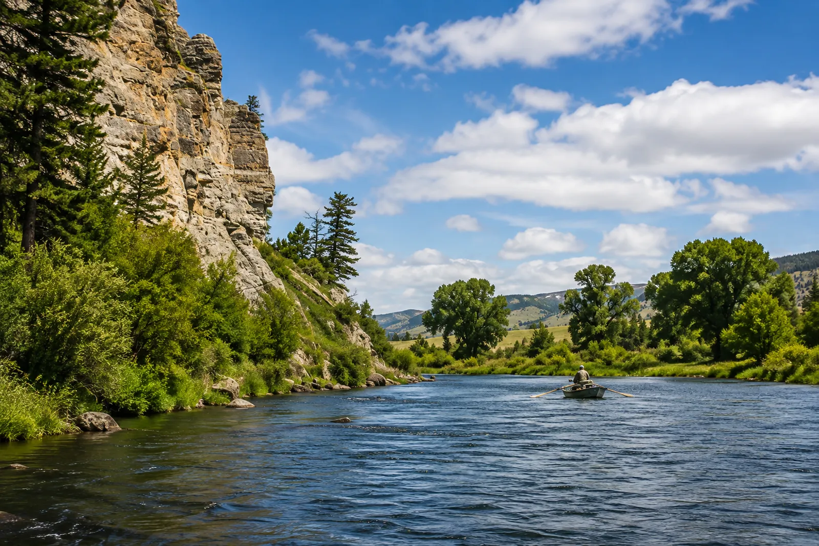 Madison — Beartrap CanyonMadison River · TailwaterLive flow Water temp
 -
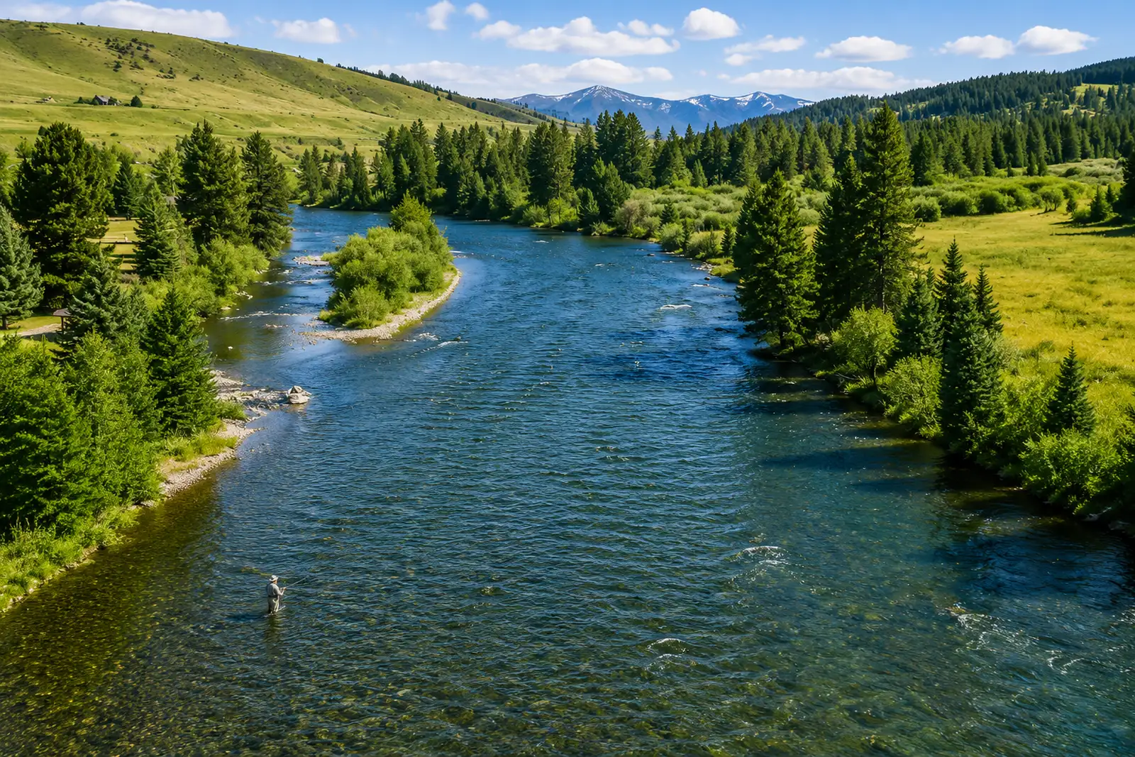 Madison — Below HebgenMadison River · TailwaterLive flow Water temp
 -
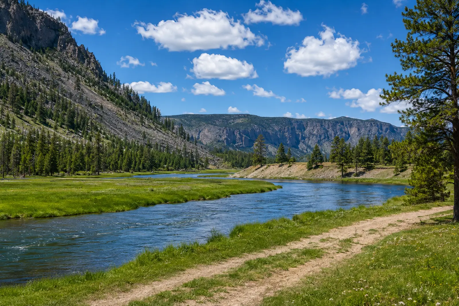 Madison — Varney to EnnisMadison River · FreestoneLive flow Water temp
 -
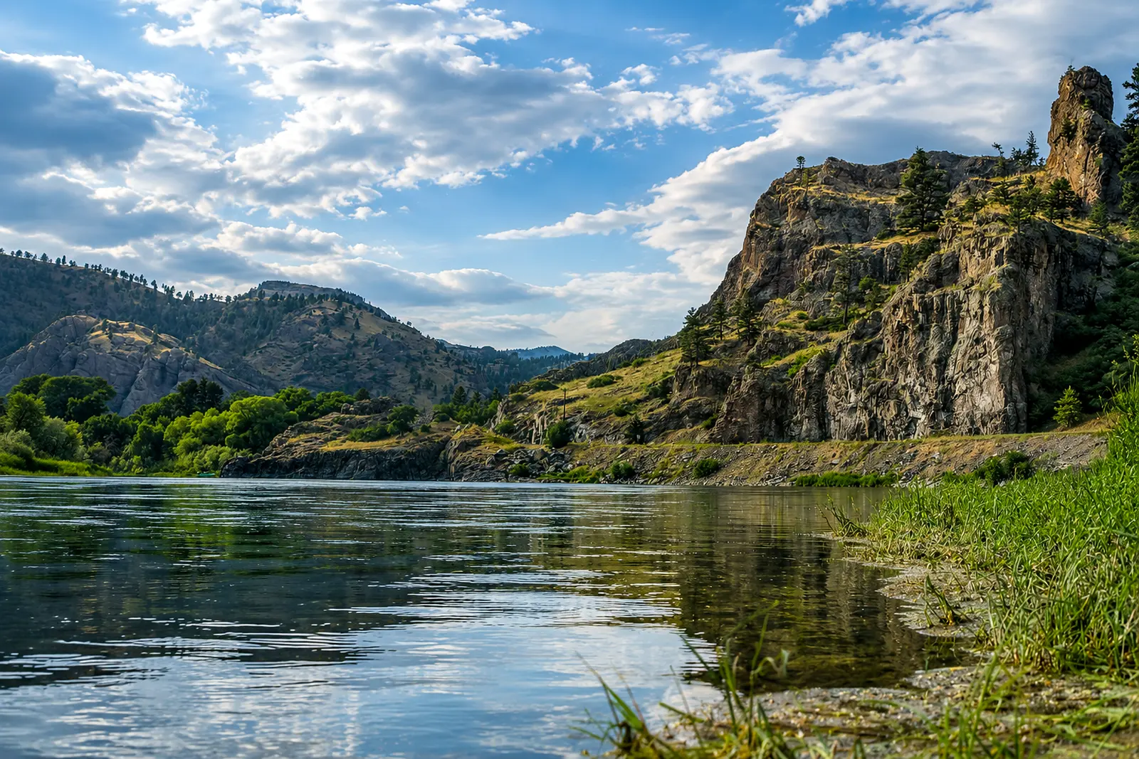 Missouri — Below HolterMissouri River · TailwaterLive flow Water temp
 -
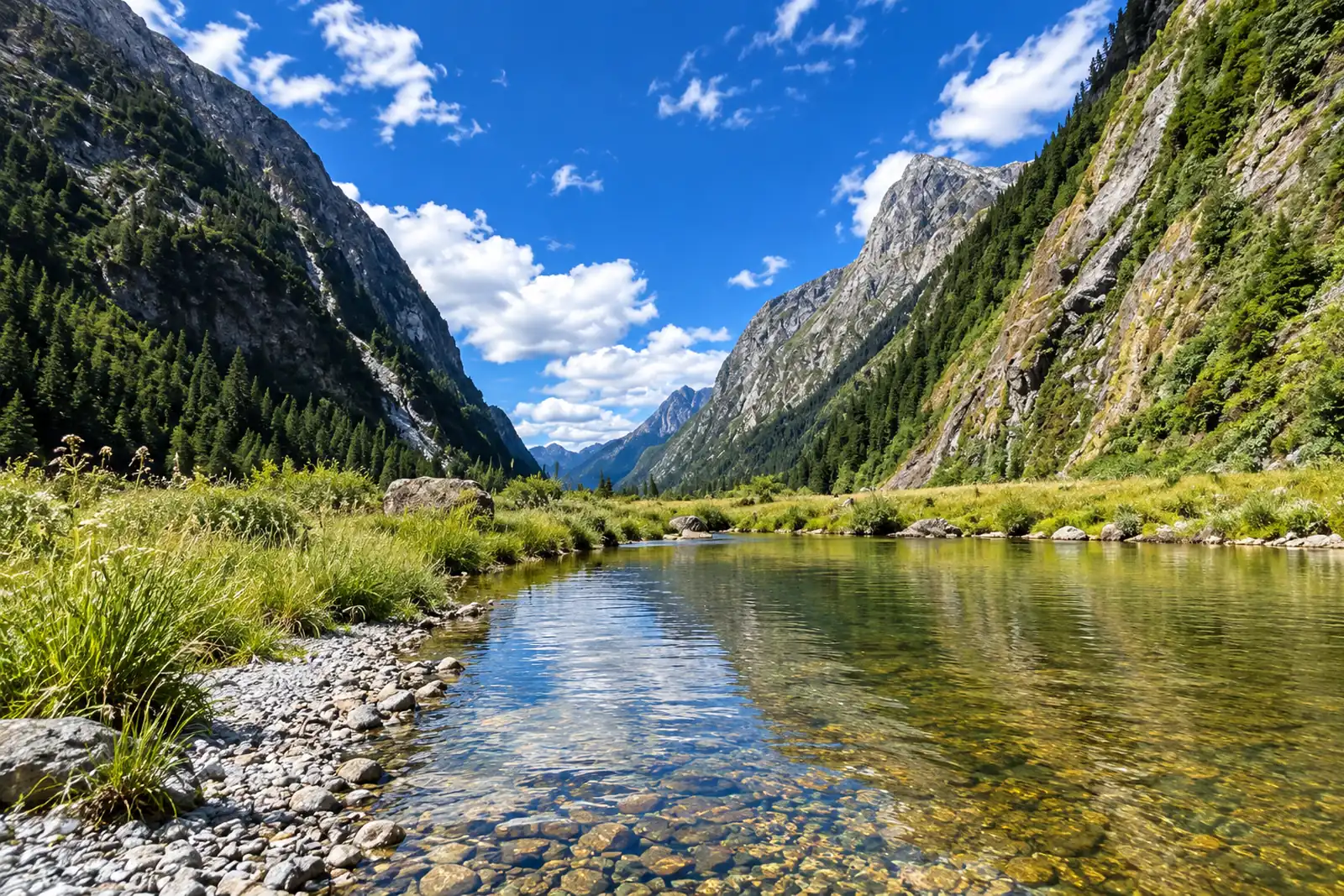 Rock Creek — LowerRock Creek · FreestoneLive flow Water temp
 -
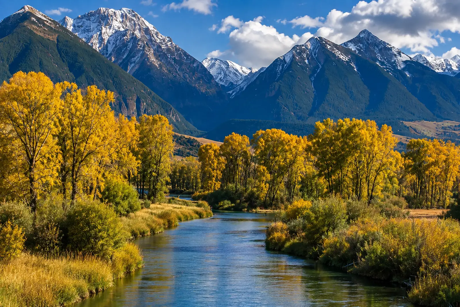 Yellowstone — Paradise ValleyYellowstone River · FreestoneLive flow Water temp
Washington
16 sections-
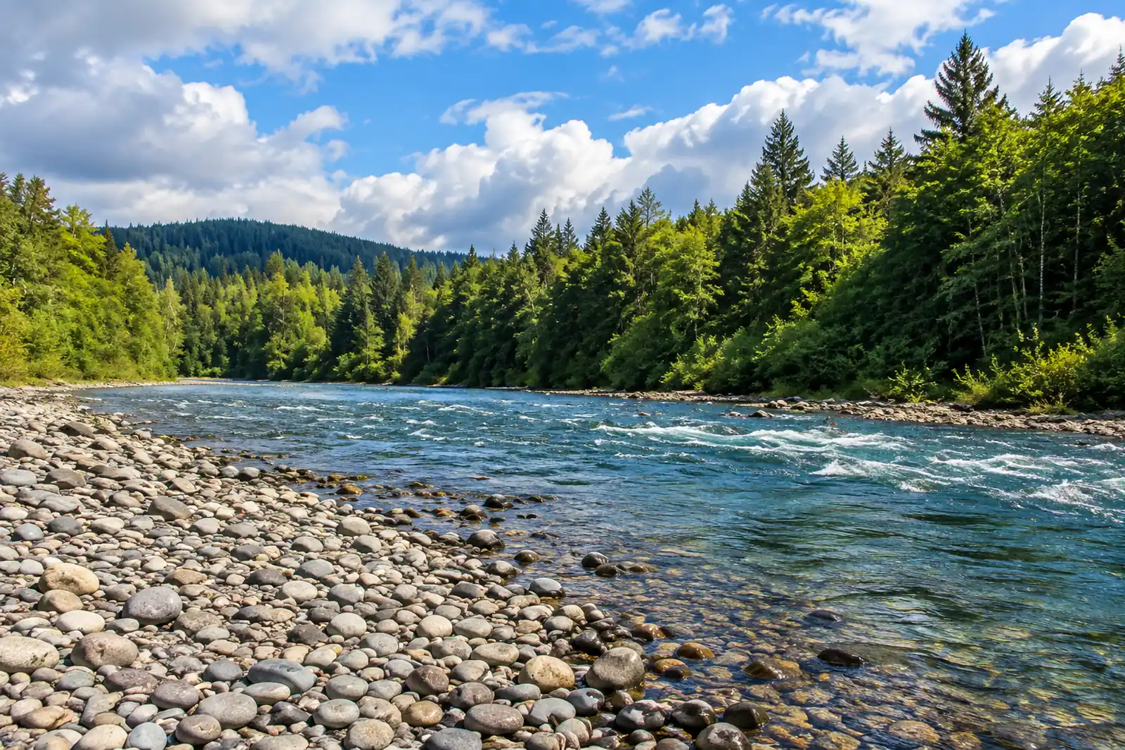 Bogachiel — ForksBogachiel River · MigratoryLive flow Water temp
 -
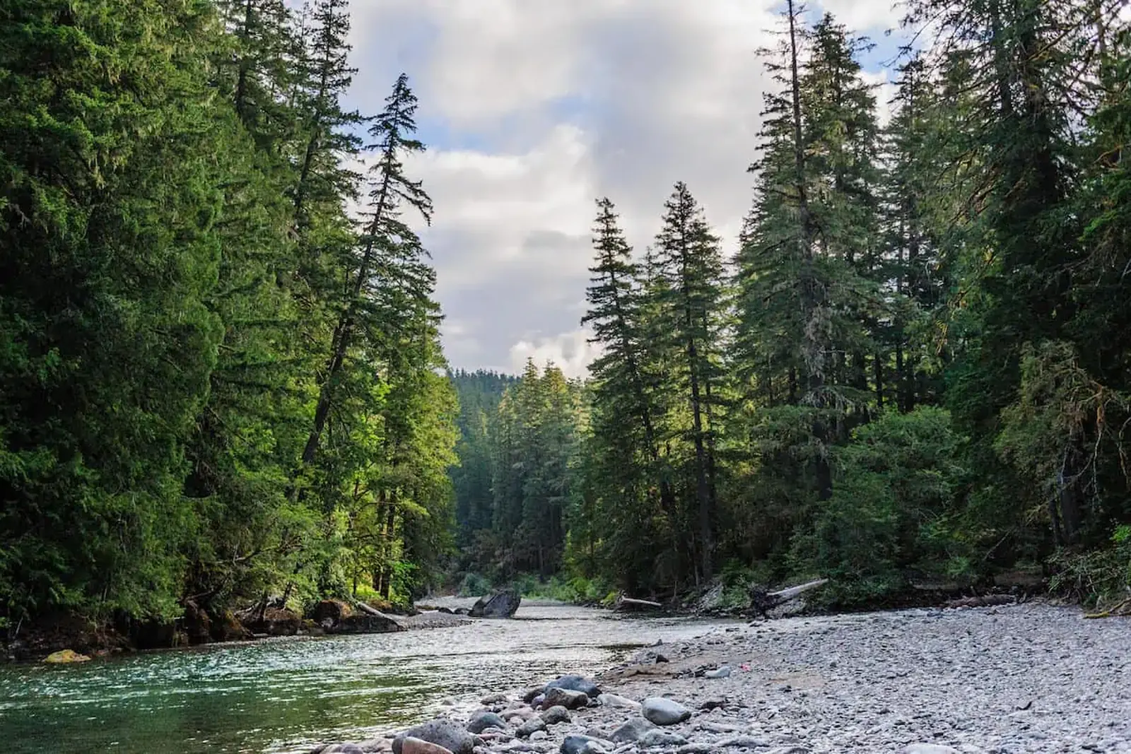 Cowlitz — Below Mayfield DamCowlitz River · TailwaterLive flow
 -
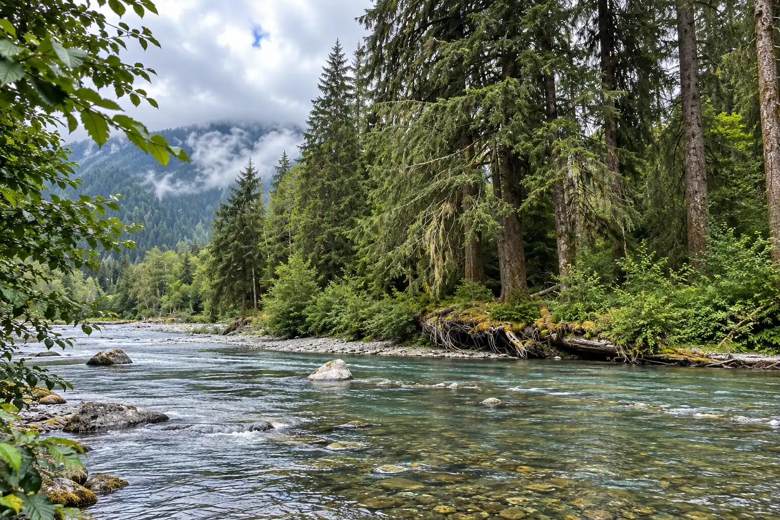 Hoh — Lower RiverHoh River · MigratoryLive flow
 -
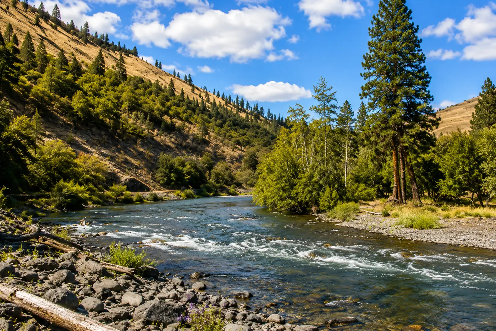 Klickitat — LowerKlickitat River · FreestoneLive flow Water temp
 -
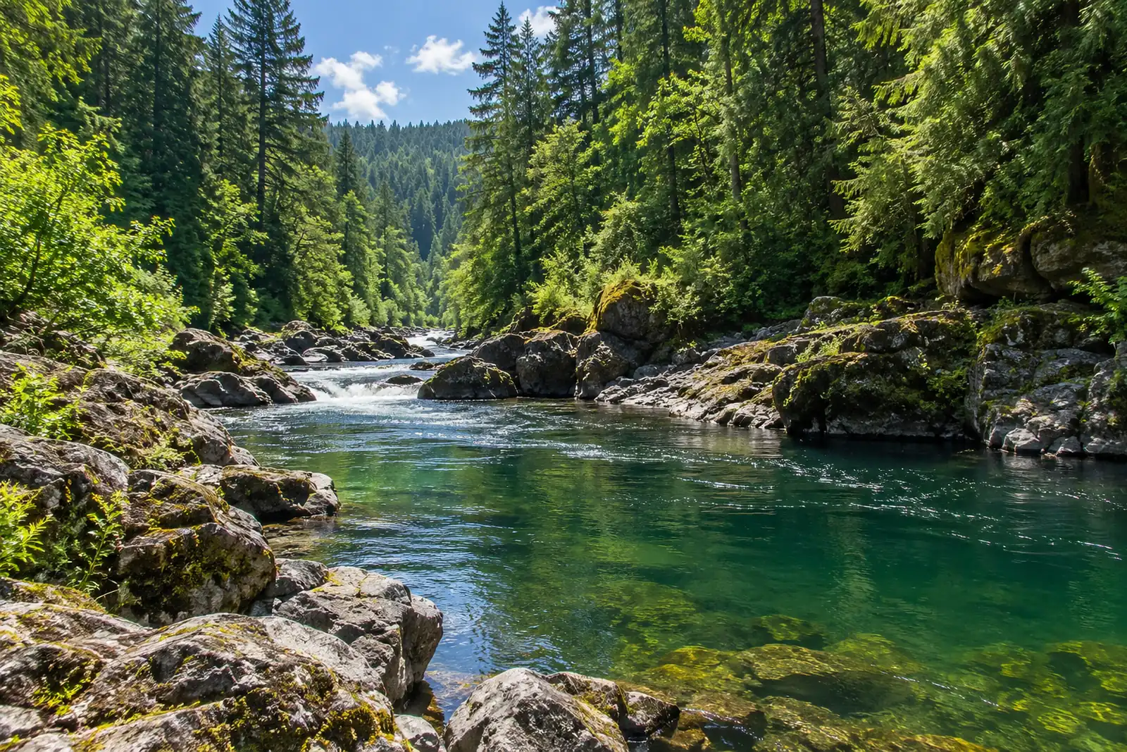 Lewis — East Fork (Heisson)Lewis River · MigratoryLive flow
 -
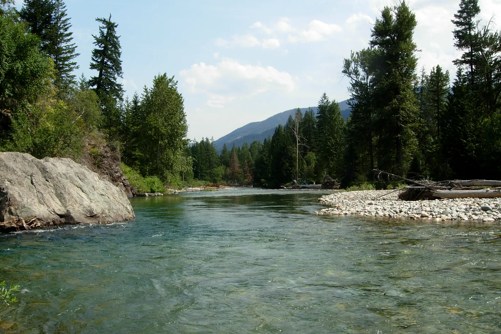 Methow — Winthrop to TwispMethow River · FreestoneLive flow Seasonal runs
 -
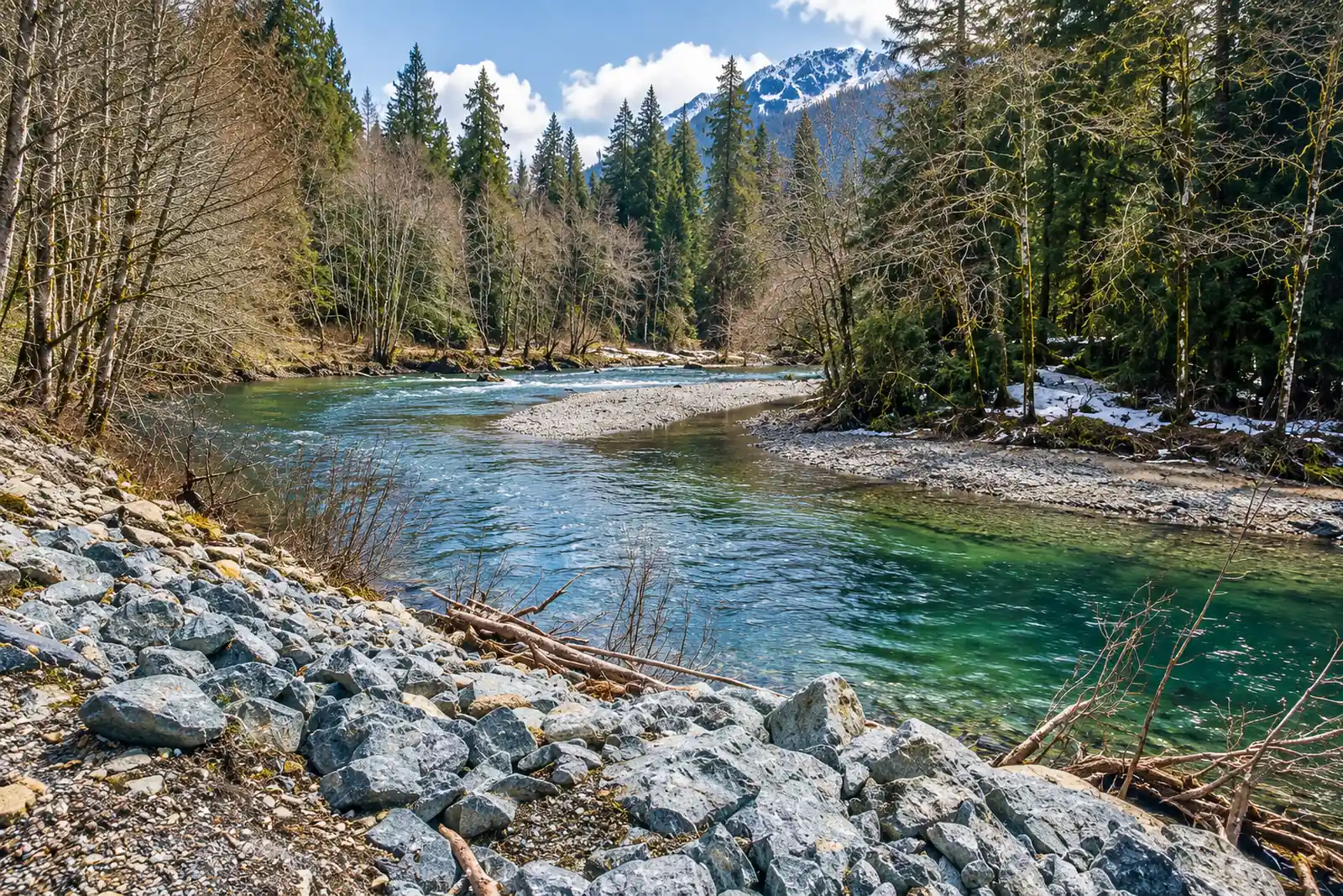 Nooksack — North ForkNooksack River · MigratoryLive flow Water temp
 -
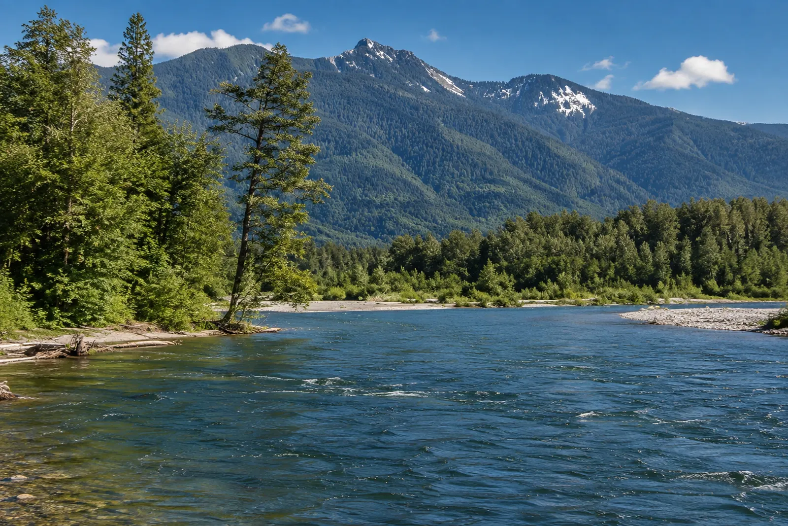 Sauk — LowerSauk River · FreestoneLive flow Water temp Seasonal runs
 -
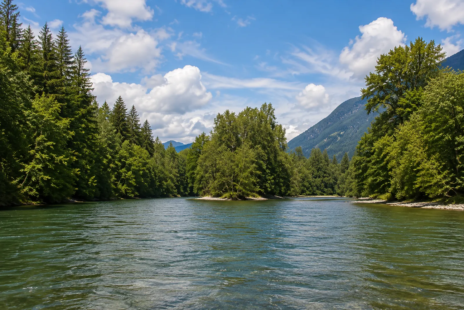 Skagit — Marblemount to RockportSkagit River · FreestoneLive flow Water temp Seasonal runs
 -
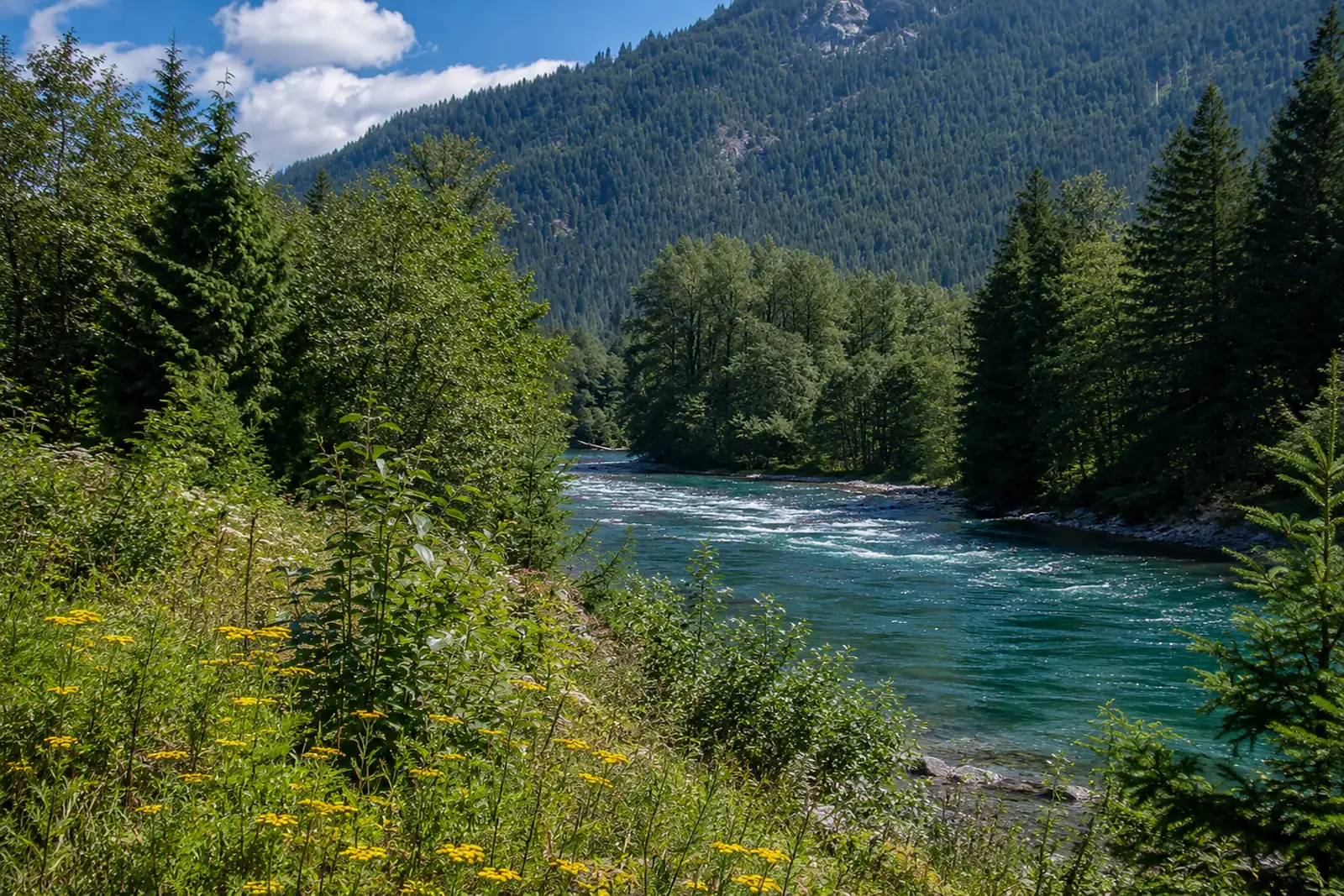 Skagit — Upper (Newhalem)Skagit River · FreestoneLive flow Water temp
 -
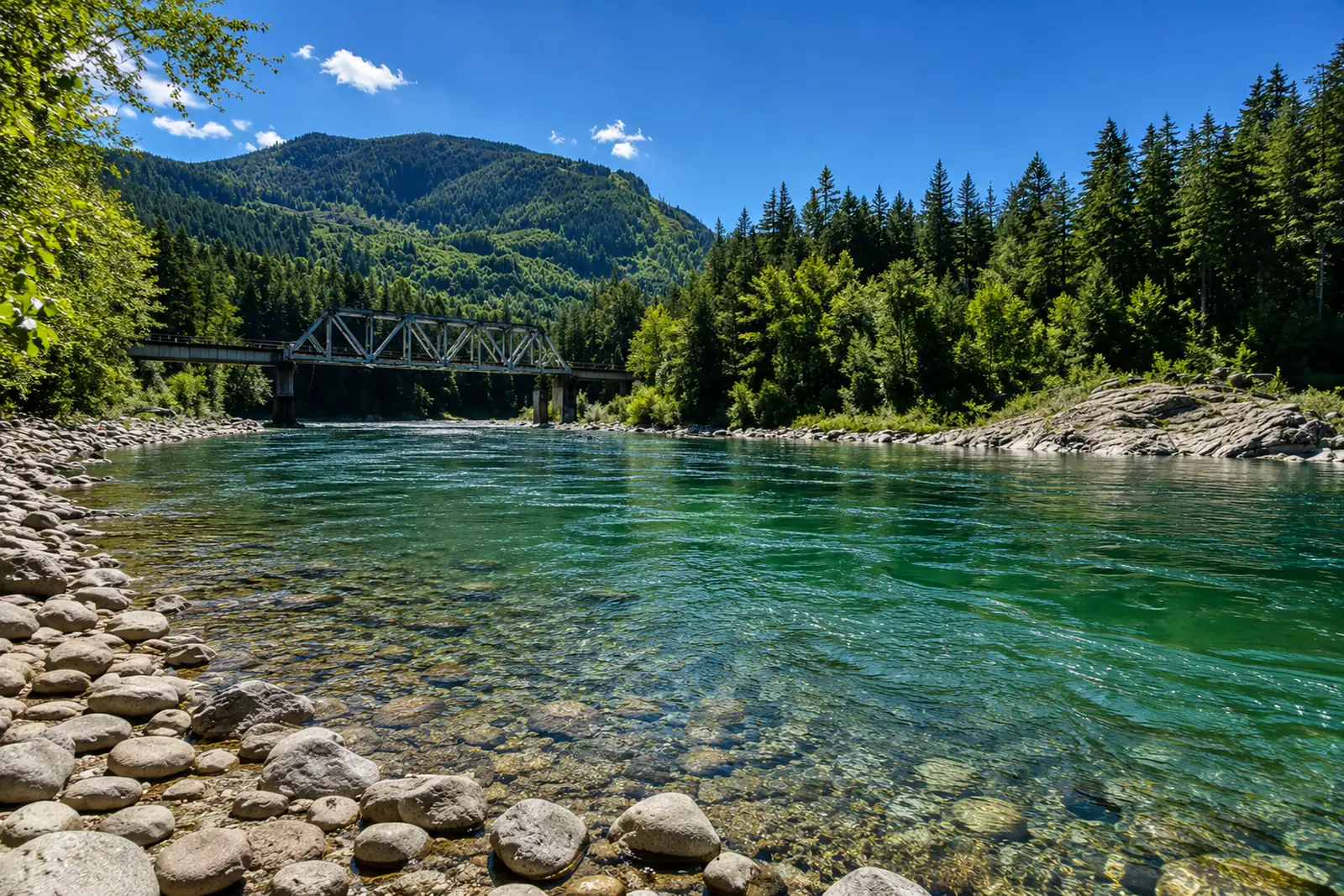 Skykomish — Gold Bar to SultanSkykomish River · FreestoneLive flow Water temp
 -
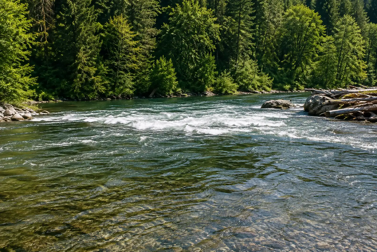 Snoqualmie — Middle ForkSnoqualmie River · FreestoneLive flow
 -
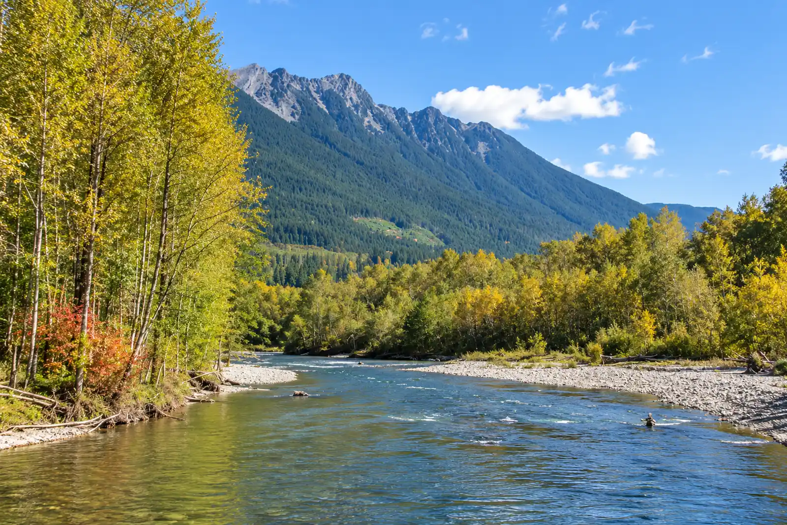 Stillaguamish — North ForkStillaguamish River · MigratoryLive flow
 -
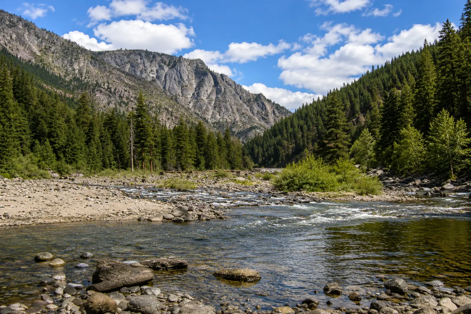 Wenatchee — Leavenworth to PeshastinWenatchee River · FreestoneLive flow Seasonal runs
 -
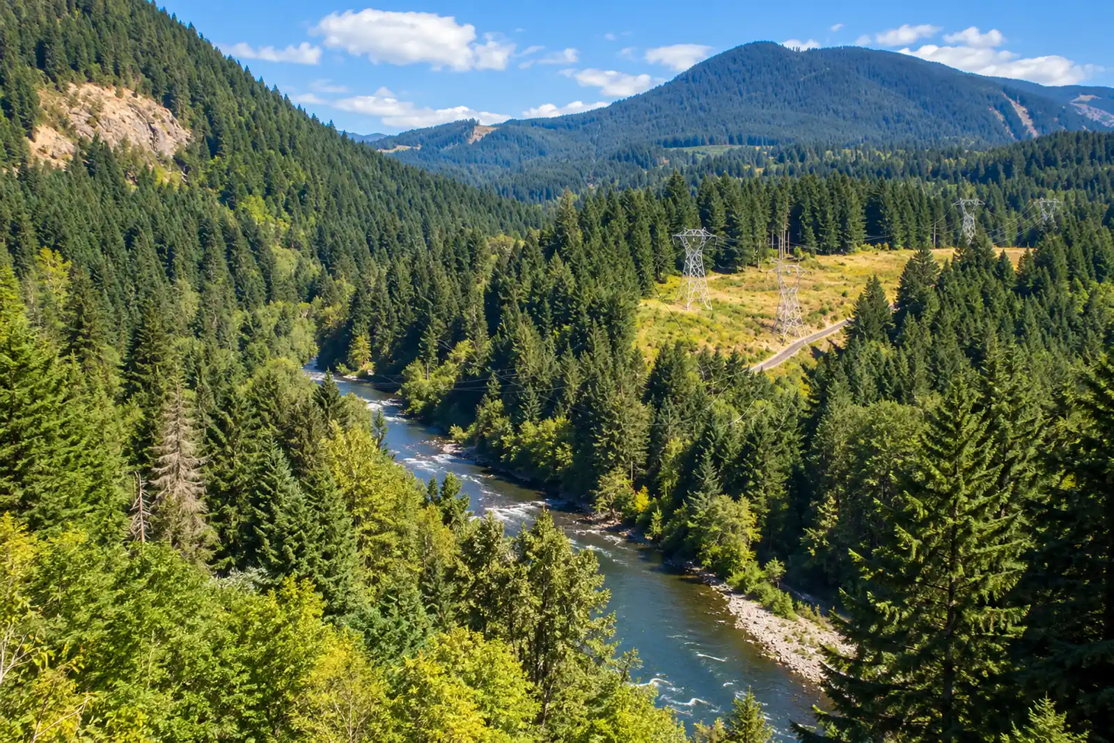 Wind — CarsonWind River · MigratoryLive flow Water temp
 -
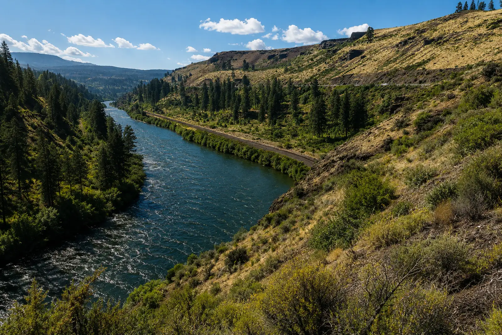 Yakima — Upper CanyonYakima River · FreestoneLive flow
Oregon
14 sections-
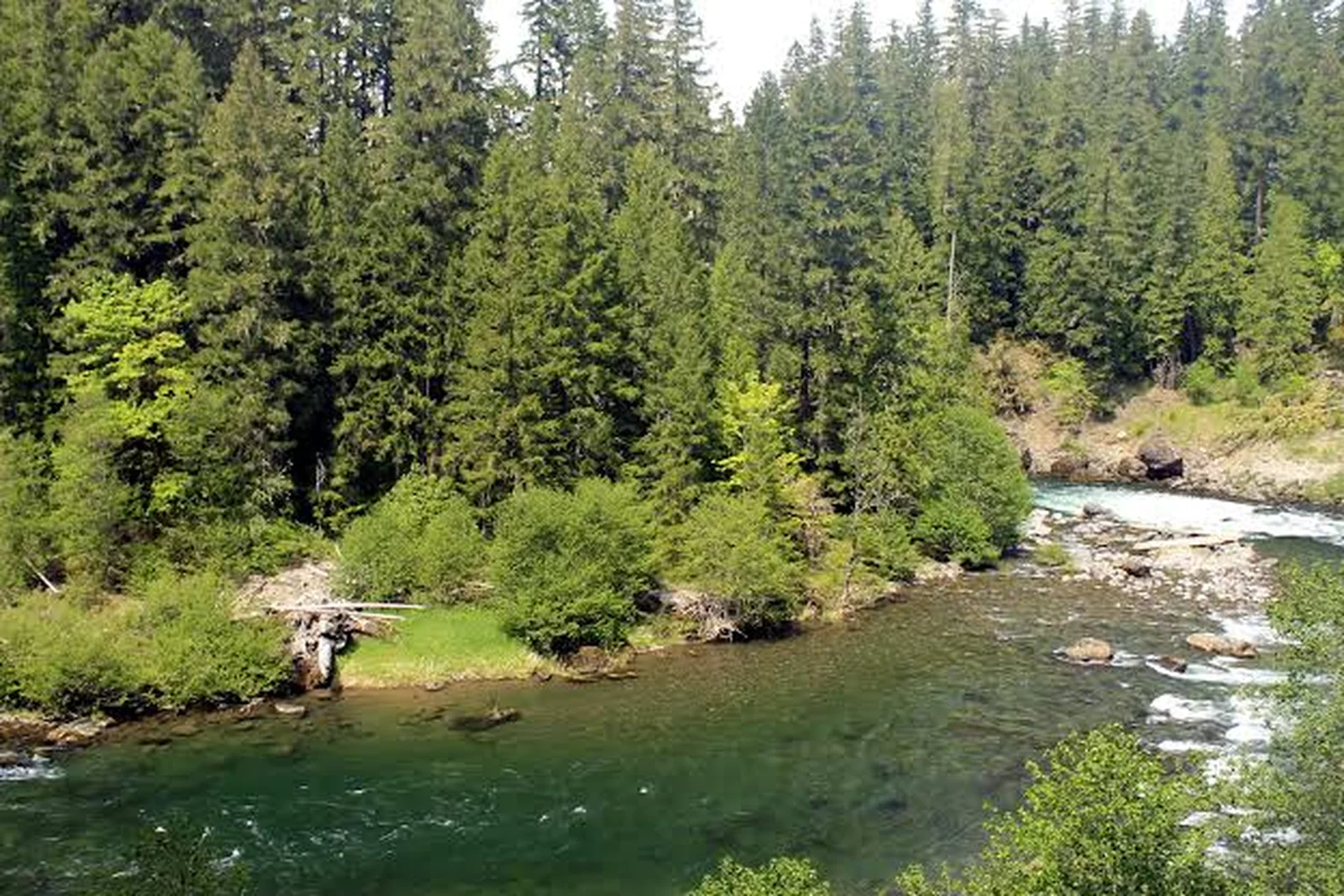 Clackamas — UpperClackamas River · FreestoneLive flow Water temp Seasonal runs
 -
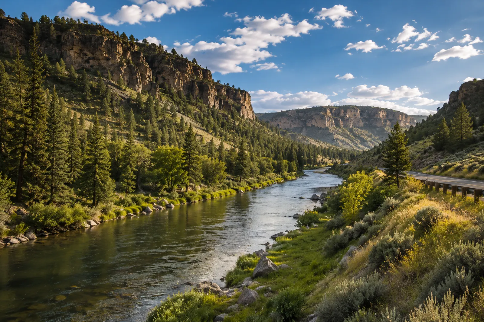 Crooked — Lower CanyonCrooked River · FreestoneLive flow Water temp
 -
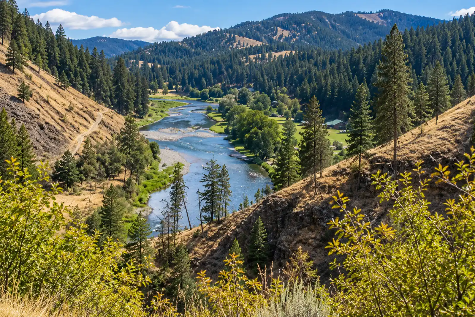 Grande Ronde — TroyGrande Ronde River · MigratoryLive flow Seasonal runs
 -
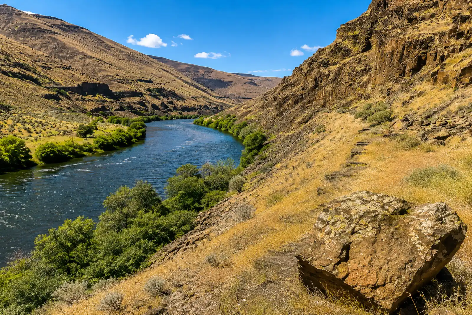 Lower Deschutes — MouthDeschutes River · FreestoneLive flow Water temp Seasonal runs
 -
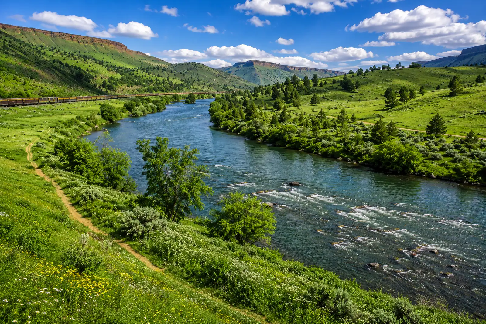 Lower Deschutes — Warm Springs to Trout CreekDeschutes River · FreestoneLive flow Water temp Seasonal runs
 -
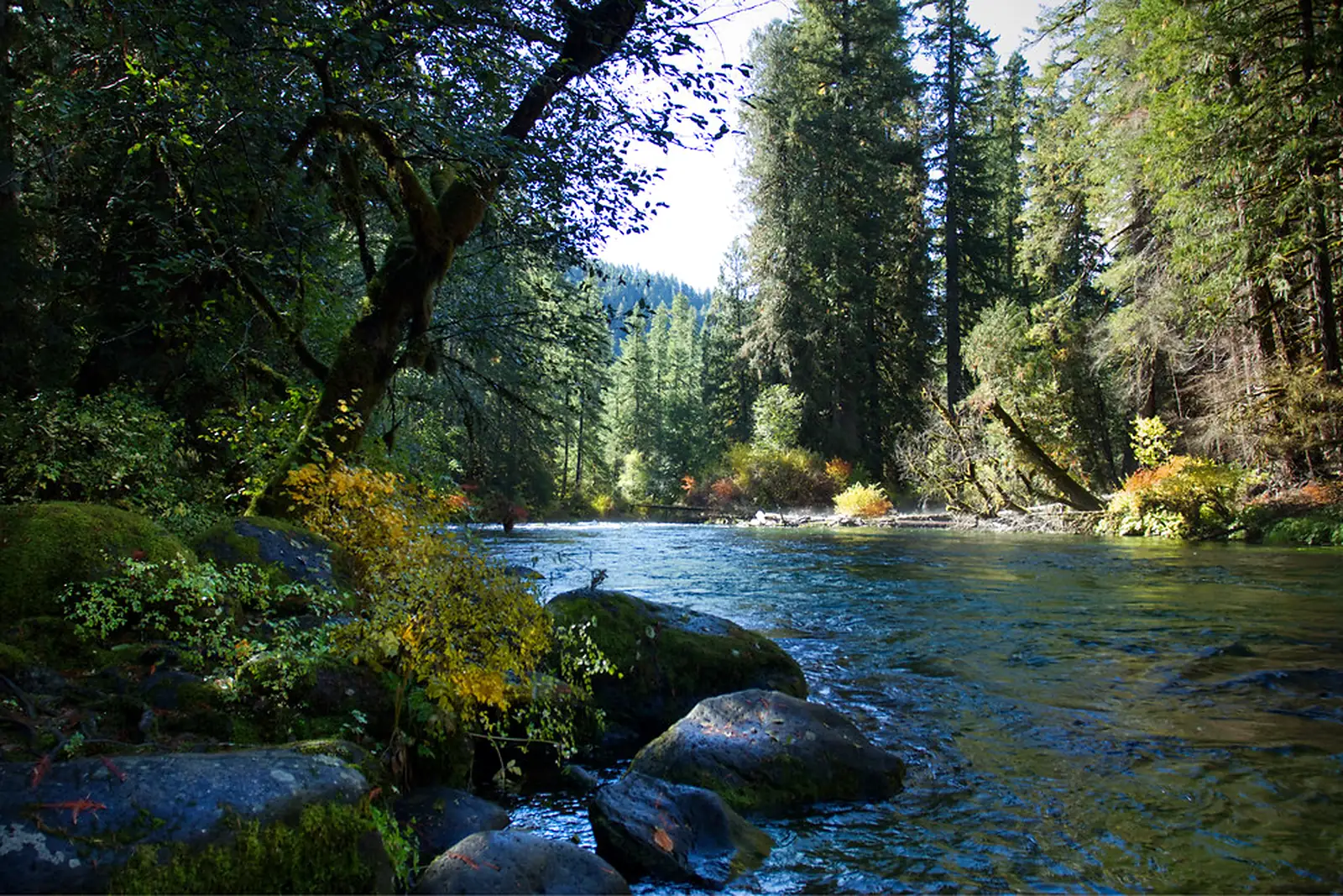 McKenzie — Vida to LeaburgMcKenzie River · FreestoneLive flow Water temp
 -
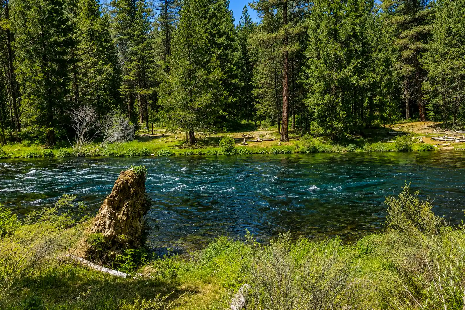 Metolius — Camp Sherman to Bridge 99Metolius River · Spring CreekLive flow Water temp
 -
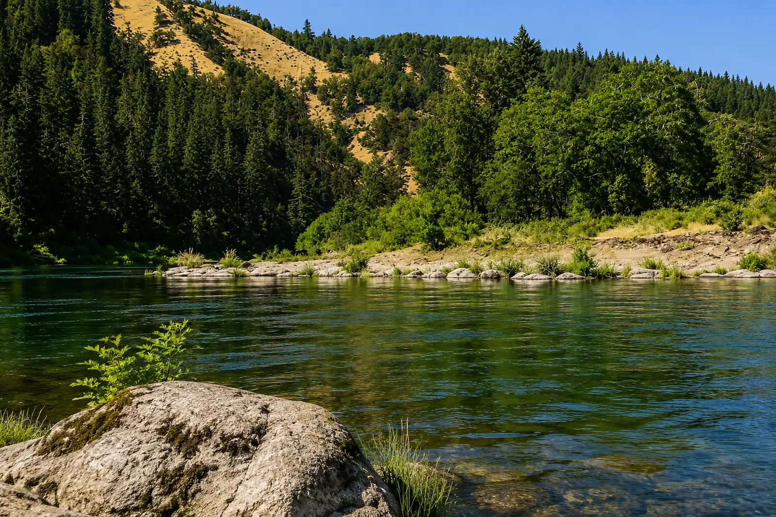 North Umpqua — Fly WaterNorth Umpqua River · FreestoneLive flow Water temp Seasonal runs
 -
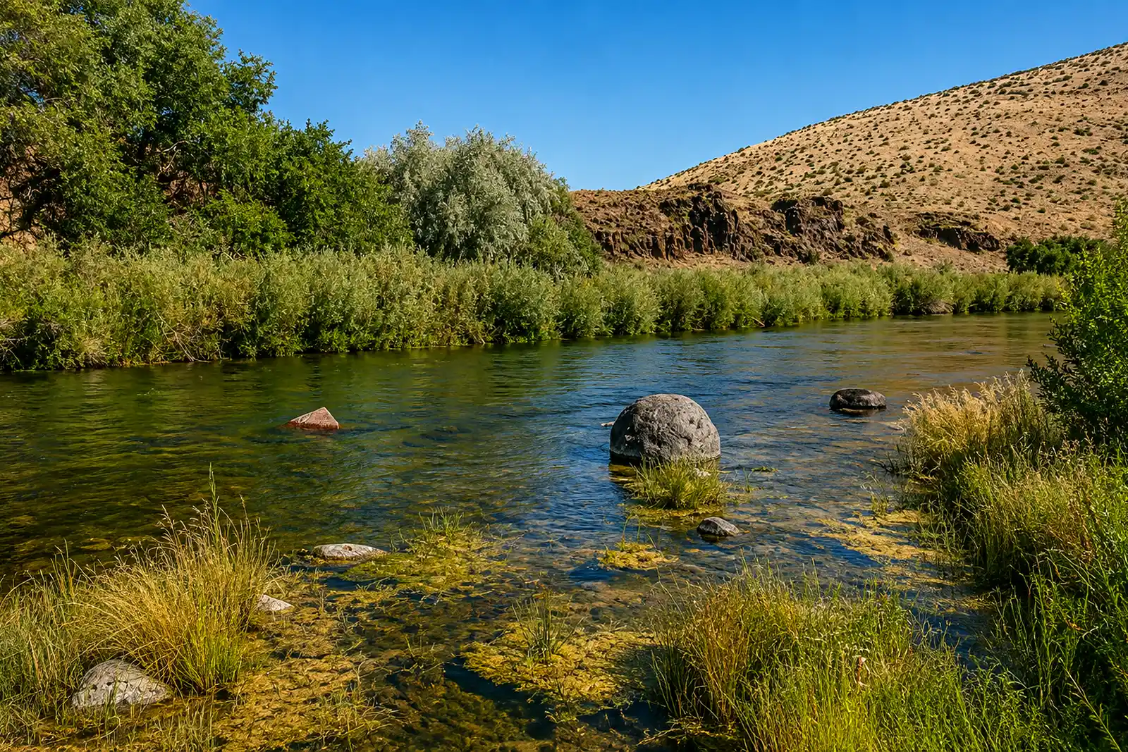 Owyhee — TailwaterOwyhee River · TailwaterLive flow
 -
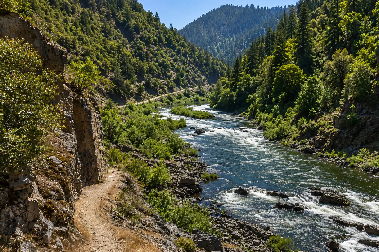 Rogue — Upper (Below Lost Creek)Rogue River · FreestoneLive flow Water temp Seasonal runs
 -
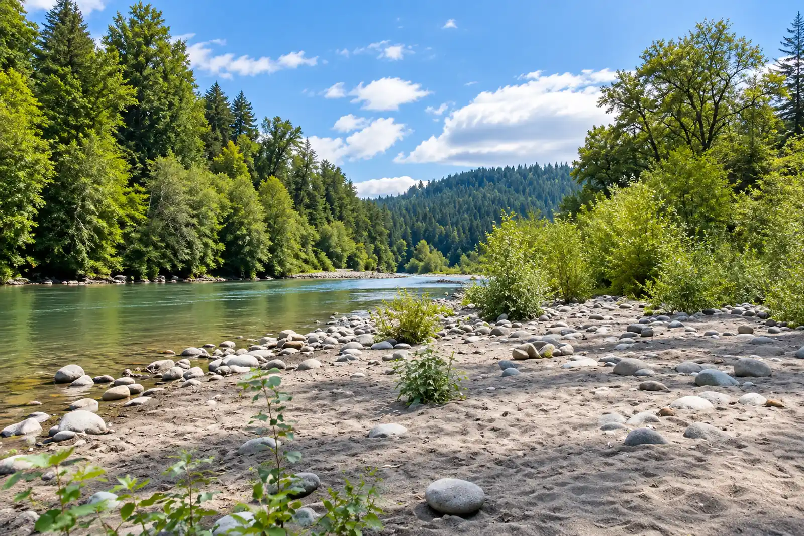 Sandy — Dodge Park to OxbowSandy River · MigratoryLive flow Water temp Seasonal runs
 -
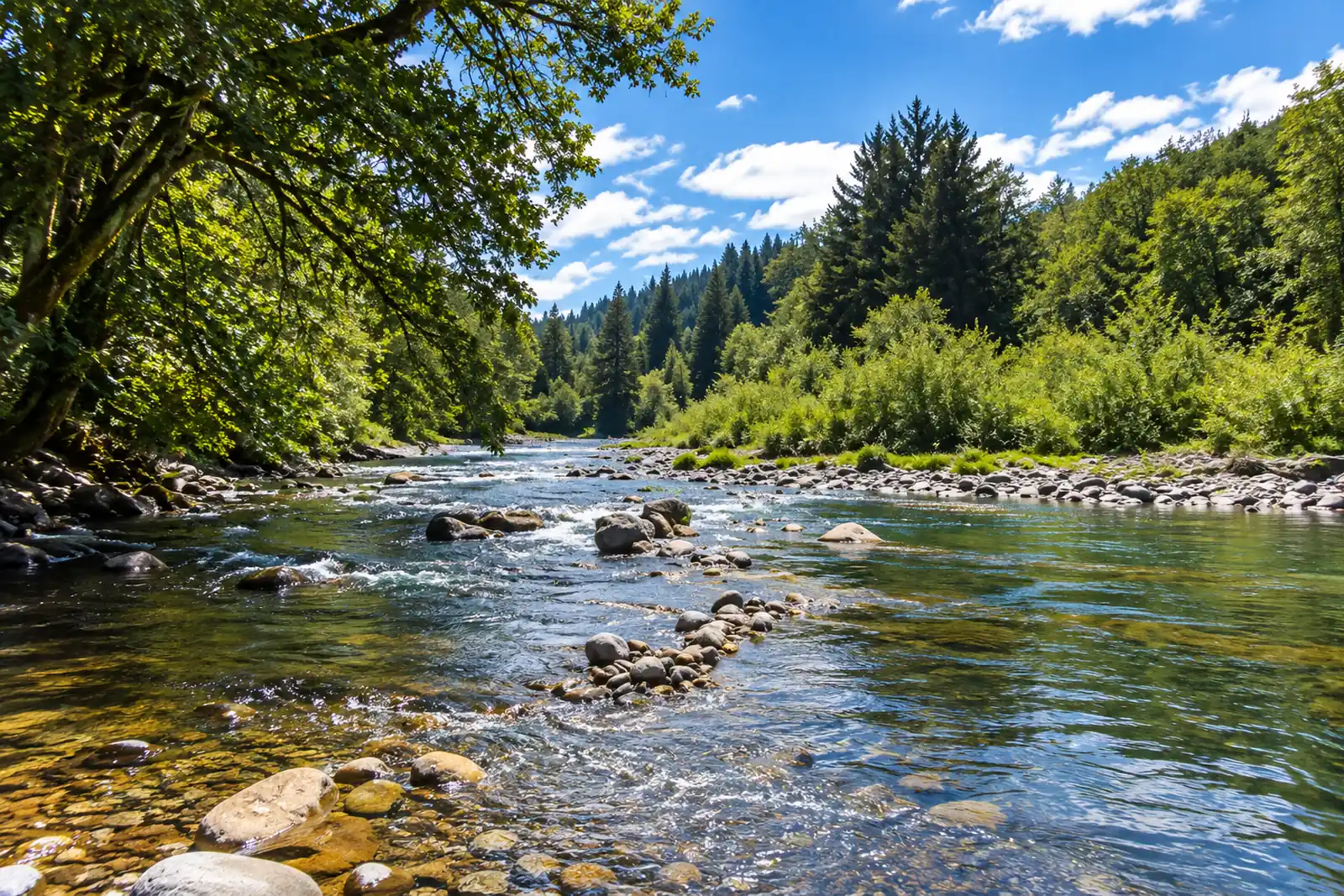 Siletz — Moonshine Park to SiletzSiletz River · MigratoryLive flow Water temp Seasonal runs
 -
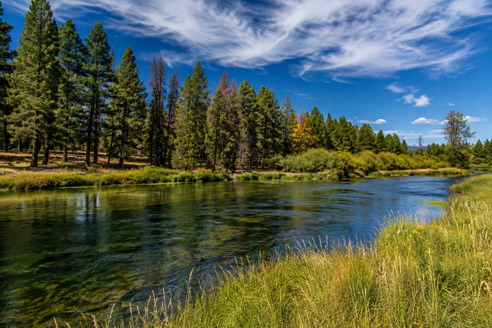 Williamson — LowerWilliamson River · FreestoneLive flow Water temp
 -
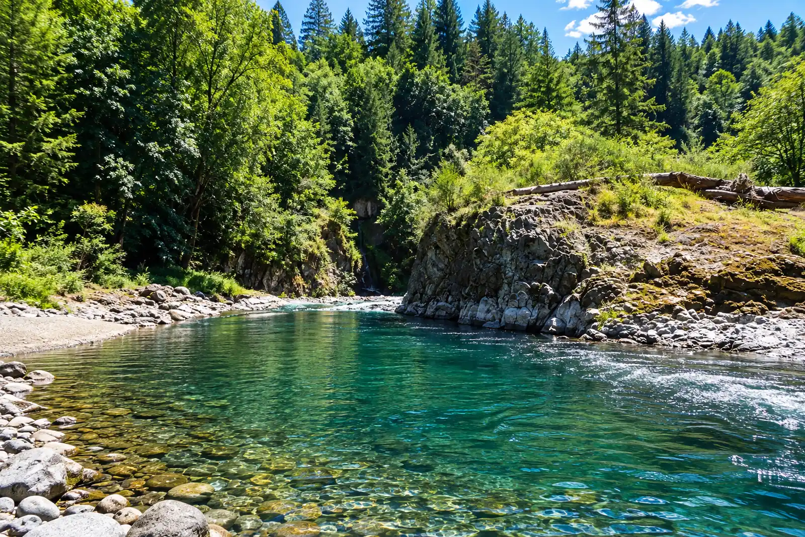 Wilson — TillamookWilson River · MigratoryLive flow Seasonal runs
Michigan
14 sections-
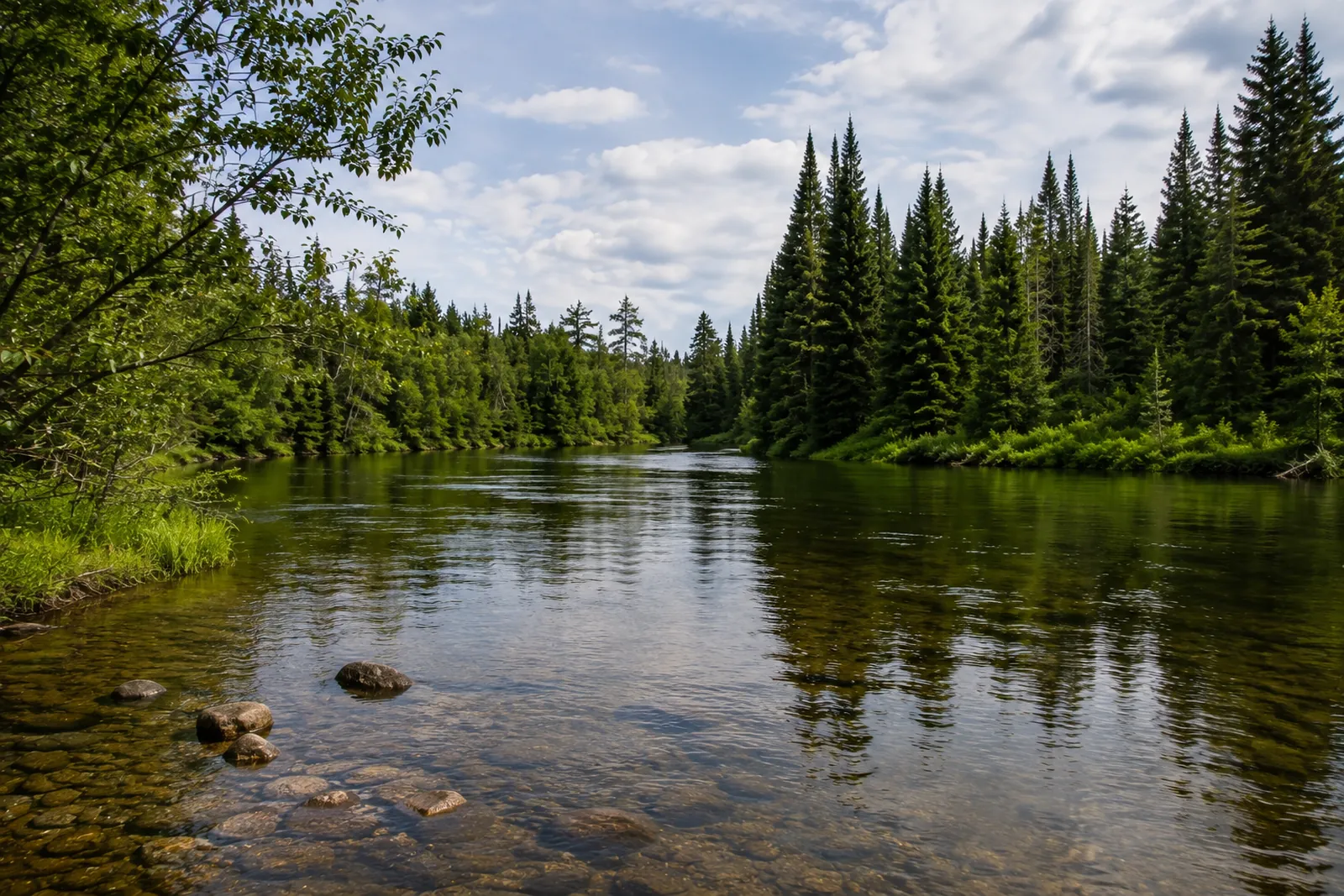 Au Sable — Holy WaterAu Sable River · FreestoneLive flow Thermometer · not reporting
 -
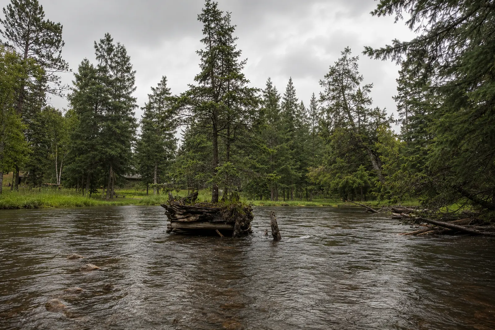 Au Sable — North BranchAu Sable River · FreestoneLive flow Water temp
 -
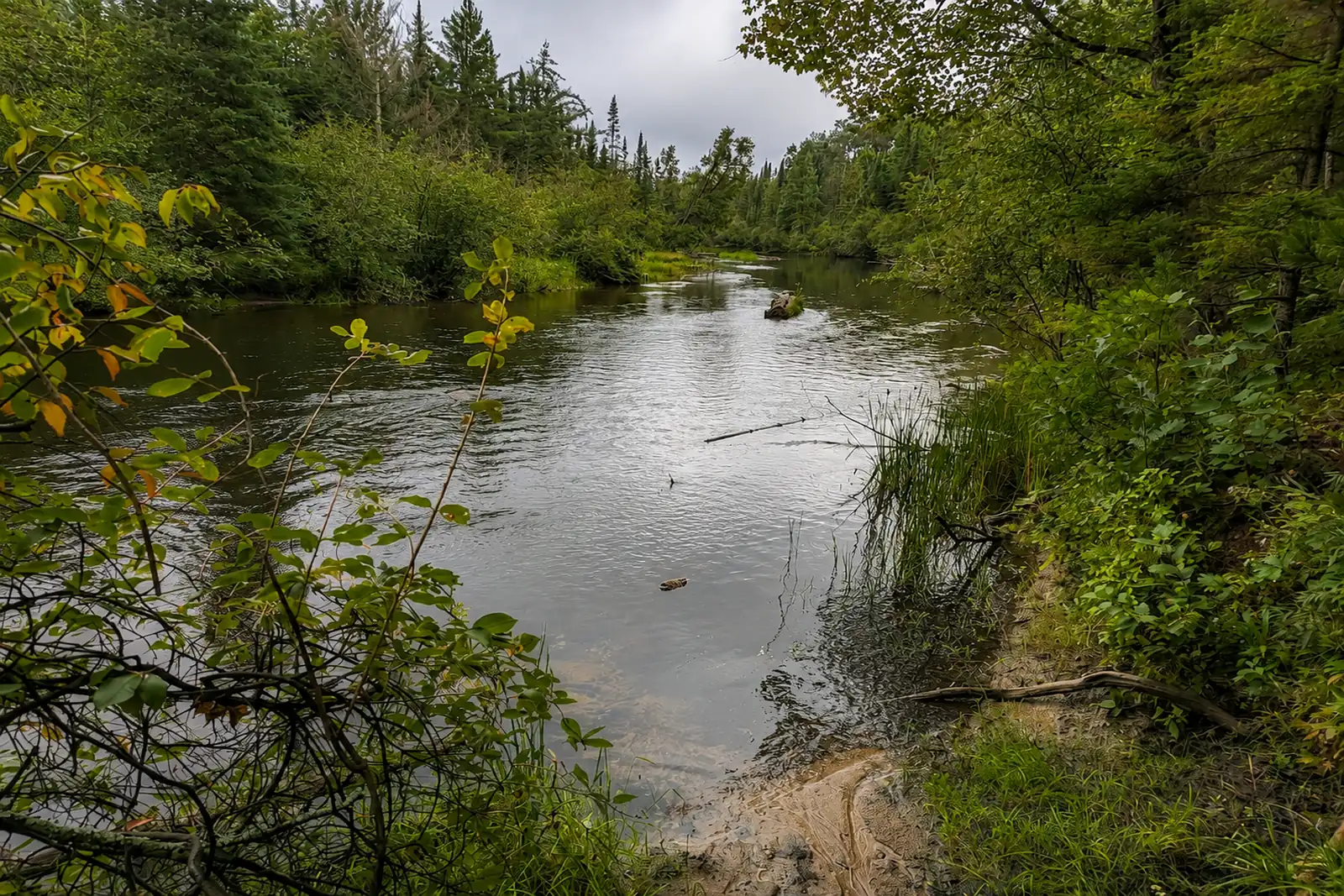 Au Sable — South Branch (Mason Tract)Au Sable River · FreestoneLive flow Water temp
 -
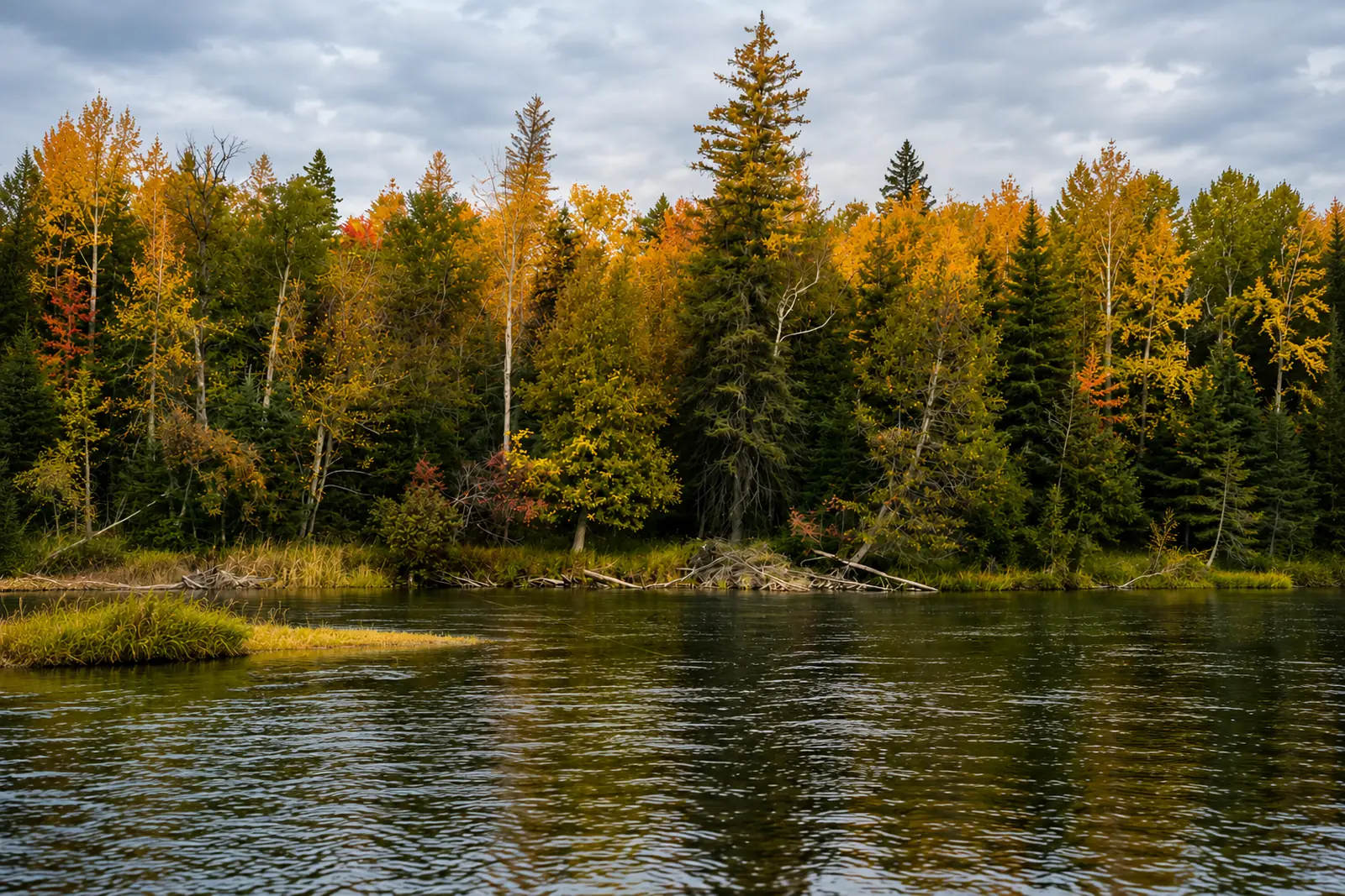 Au Sable — Trophy Water below MioAu Sable River · FreestoneLive flow Water temp
 -
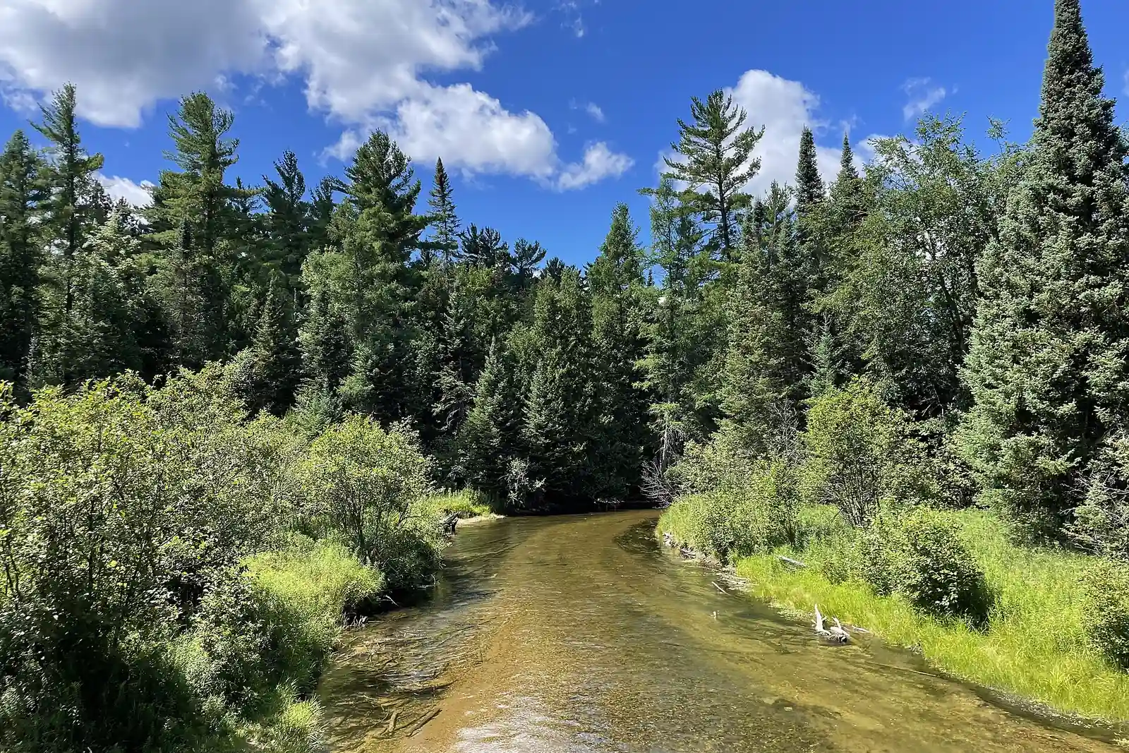 Boardman — UpperBoardman River · FreestoneLive flow
 -
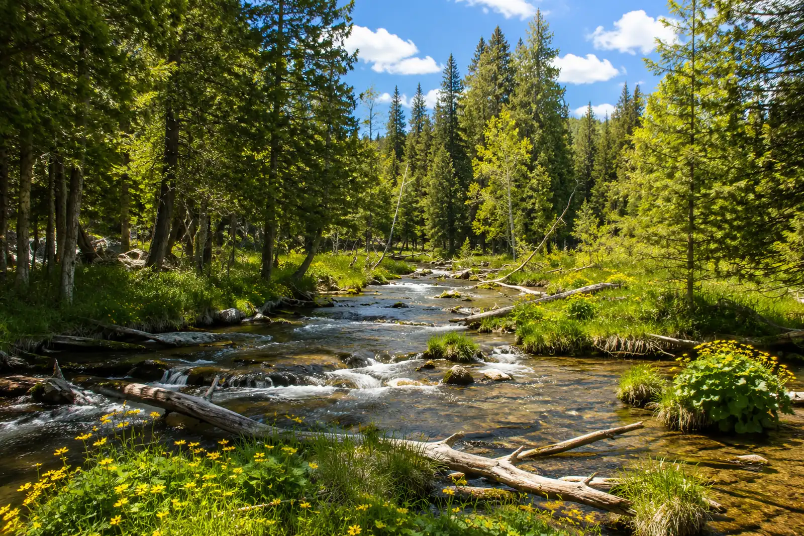 Jordan — LowerJordan River · FreestoneLive flow
 -
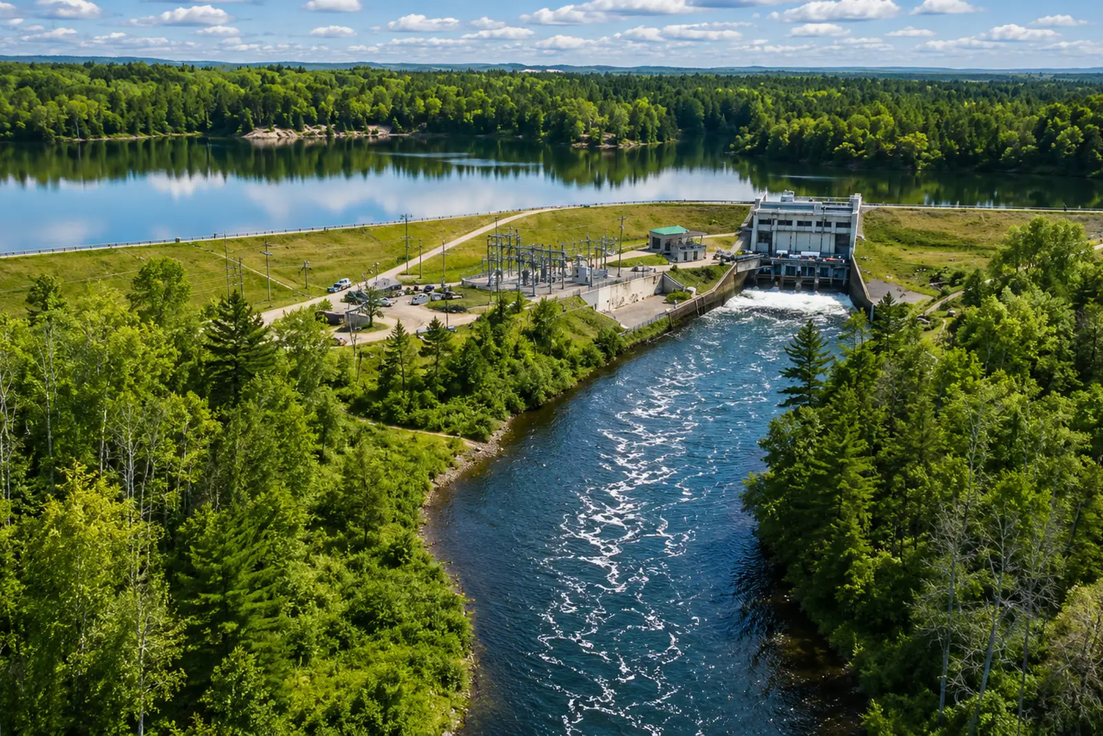 Manistee — Below Tippy DamManistee River · TailwaterLive flow Water temp
 -
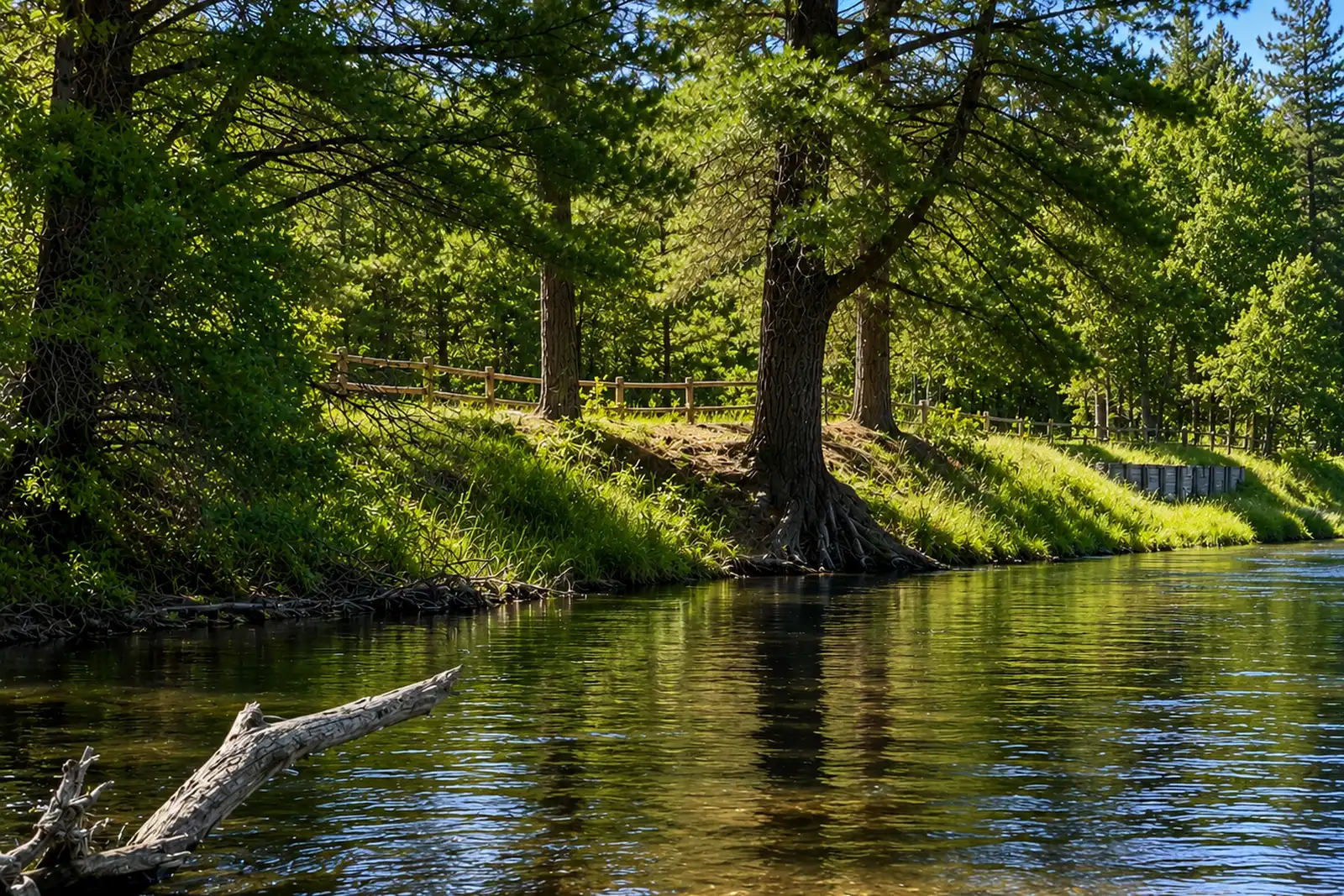 Manistee — CR 612 to M-72Manistee River · FreestoneLive flow Water temp
 -
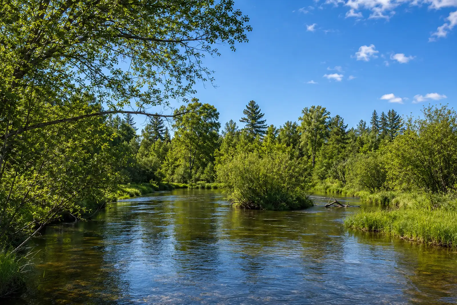 Manistee — M-72 to CCC BridgeManistee River · FreestoneLive flow Water temp
 -
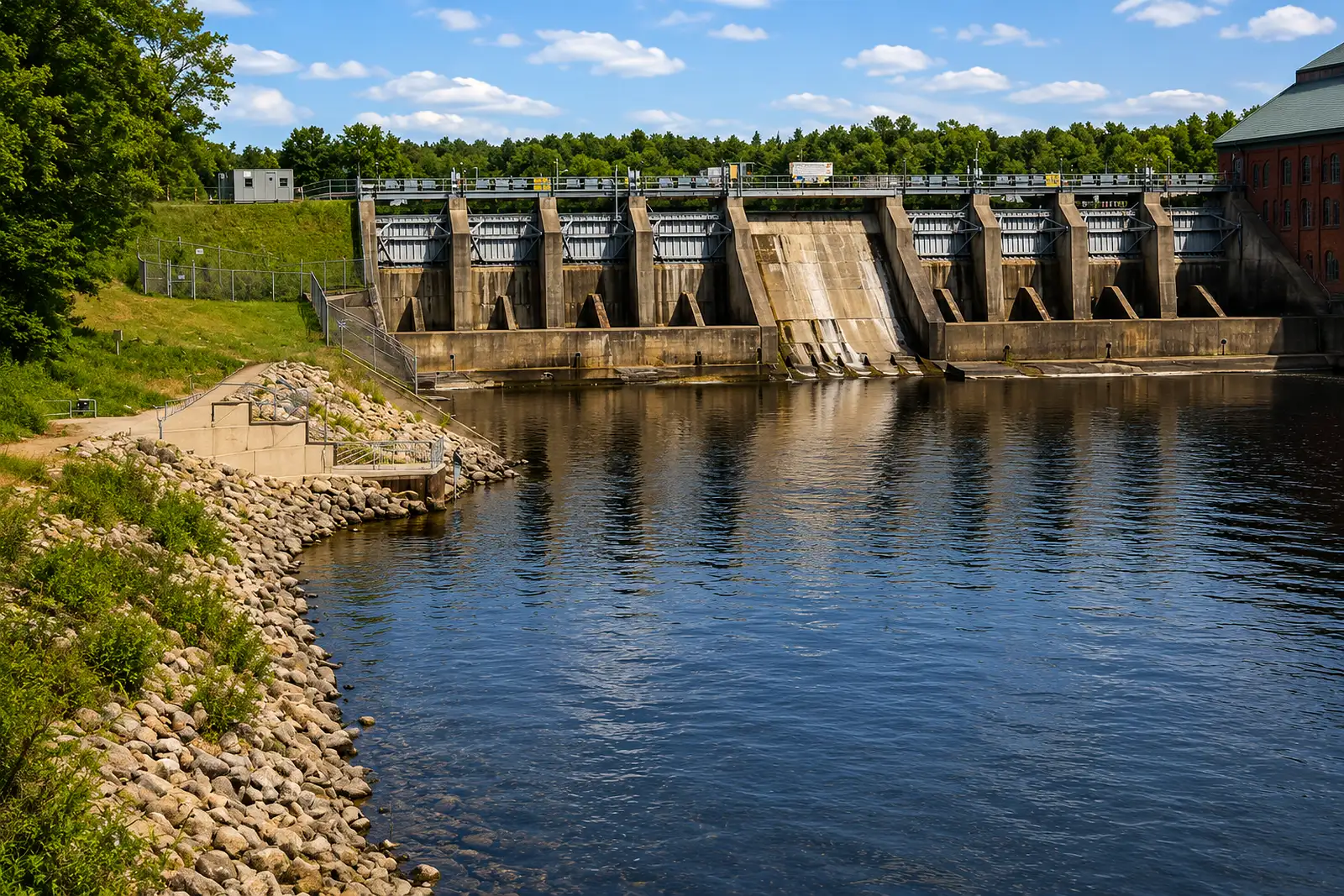 Muskegon — Below Croton DamMuskegon River · TailwaterLive flow Water temp
 -
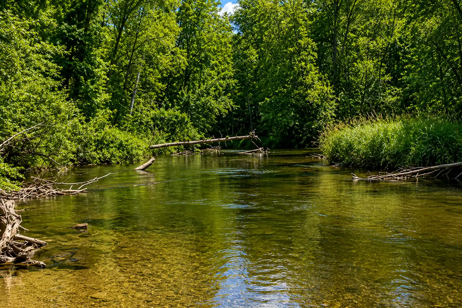 Pere Marquette — Flies-Only WaterPere Marquette River · FreestoneLive flow
 -
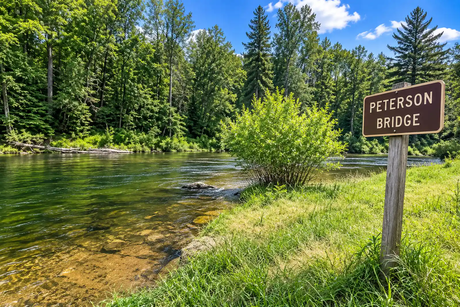 Pine — Lincoln Bridge to Peterson BridgePine River · FreestoneLive flow Water temp
 -
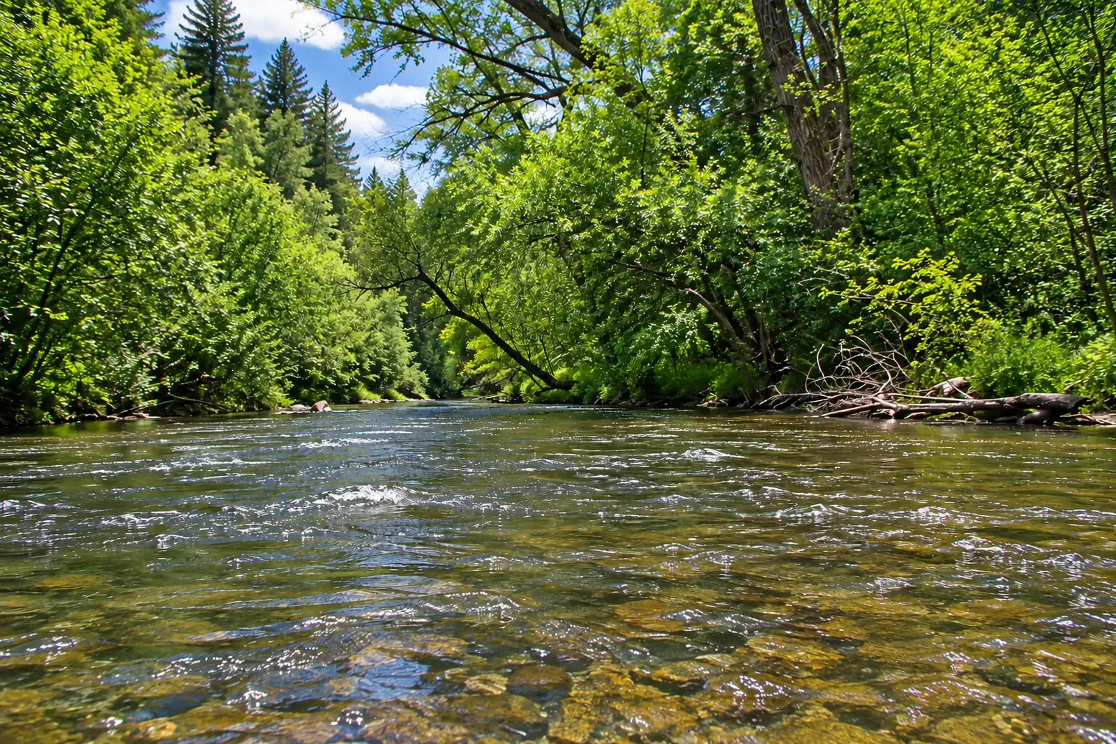 Platte — HonorPlatte River · MigratoryLive flow
 -
 Rifle — SterlingRifle River · MigratoryLive flow
All of them on one map
Every supported stretch, with its current status and any agency closure on the pin itself — so a closed water reads closed before you tap it. One tap from there opens directions to the reach's verified coordinates, never to the gauge downstream of it.
Distance is straight-line. RiverFinn has no routing data and never claims a drive time.
Don't see your river?
Ask for it from inside the app. Requests are grouped by river and decide what RiverFinn investigates next — whether a water can be supported depends on gauges, thermometers and agency sources, so demand alone never adds one.
Every one of these, in your pocket.
All of them free in the app, in full — the rating, the readings and every closure. RiverFinn Pro adds the window, the plan and the ranking.