 RiverFinn
Bogachiel — Forks
Bogachiel River · Washington · Migratory
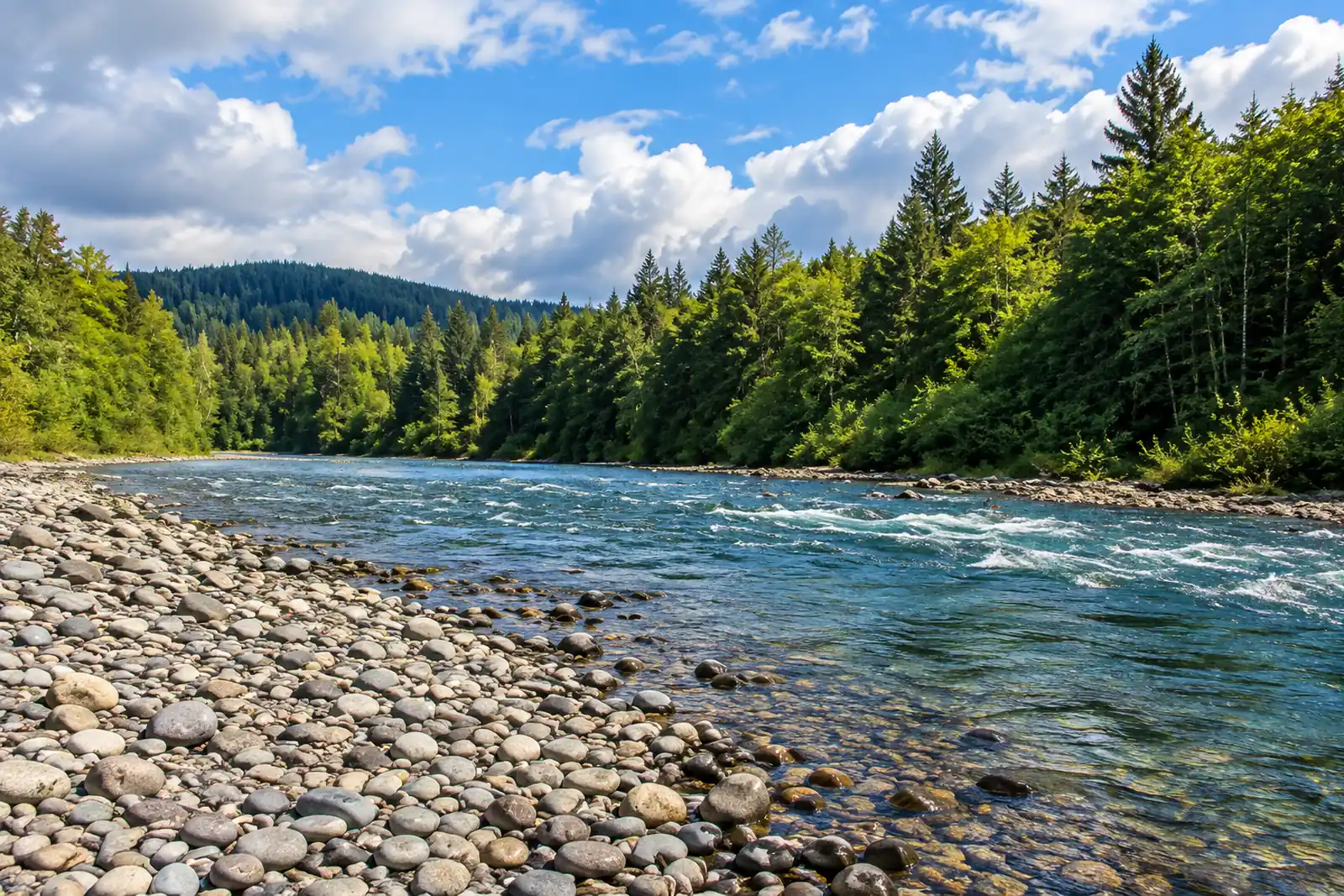
Bogachiel State Park downstream past the US Highway 101 bridge toward the Quillayute confluence
- Steelhead
- Cutthroat Trout
- Coho Salmon
What RiverFinn tracks here
The sources, not today's numbers — those live in the app, with their observation times. This is what exists for the stretch, what does not, and where each figure comes from so you can check it yourself.
Measured by a thermometer on the water (USGS), with its own observation time. Never estimated from the weather.
Official source ↗Today's flow compared with 14 years of historical observations for this calendar date at the gauge.
Checked automatically from Washington Department of Fish & Wildlife's published notices several times a day and mapped to this reach.
Official source ↗General state regulations apply; always confirm with Washington Department of Fish & Wildlife.
Official source ↗Fish Bogachiel — Forks with the facts.
Today's flow, the forecast, any closure and Finn's read — in the app.