 RiverFinn
Supported waters
73 river sections on 58 rivers, in 5 states.
Every stretch RiverFinn covers today, and every one of them is free in the app, in full. A section is a stretch of river with its own gauge, weather grid, rules and species — the unit the app rates and Finn talks about. A river with several supported stretches is listed once per stretch.
Oregon
14 sections-
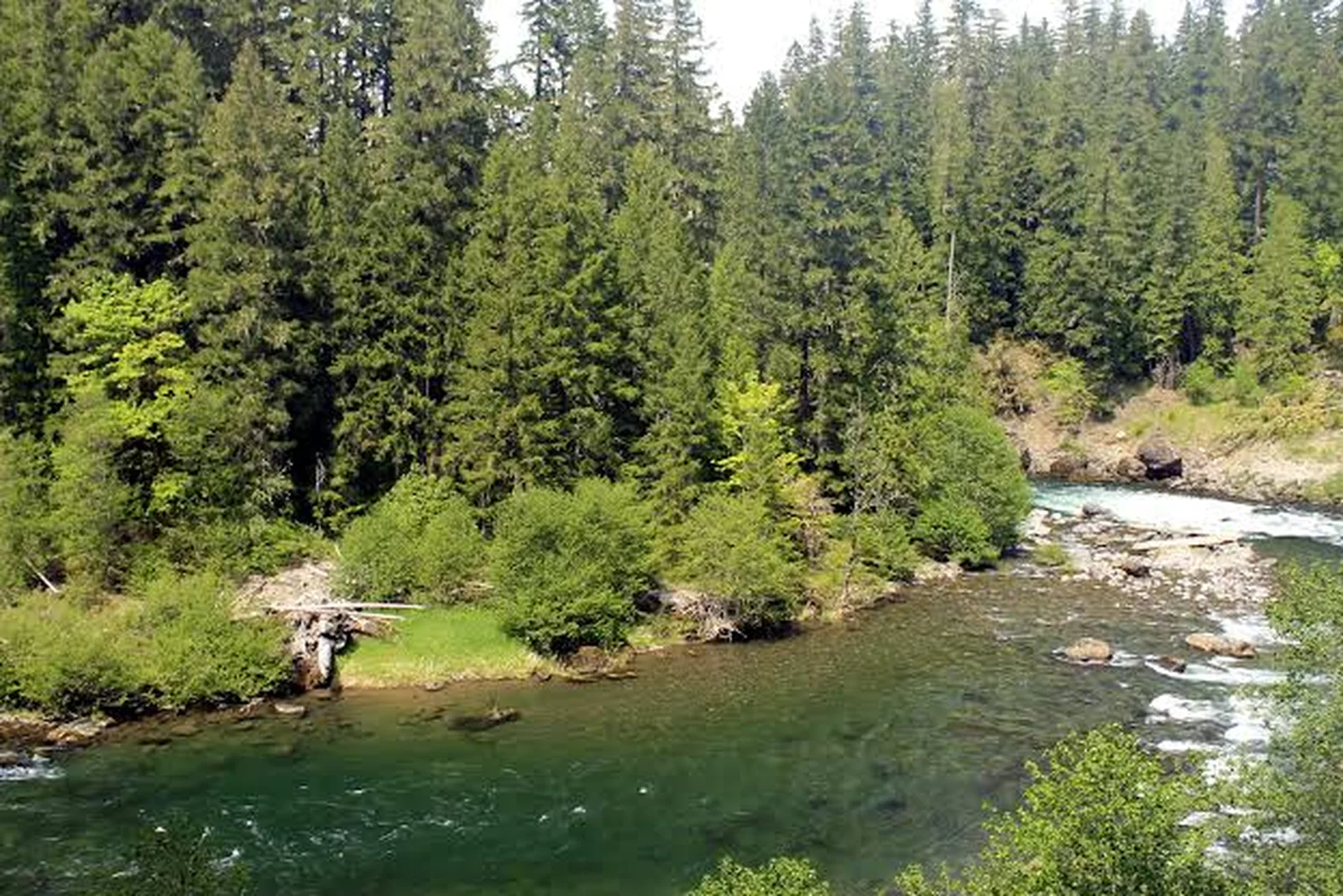 Clackamas — UpperClackamas River · FreestoneLive flow Water temp Seasonal runs
 -
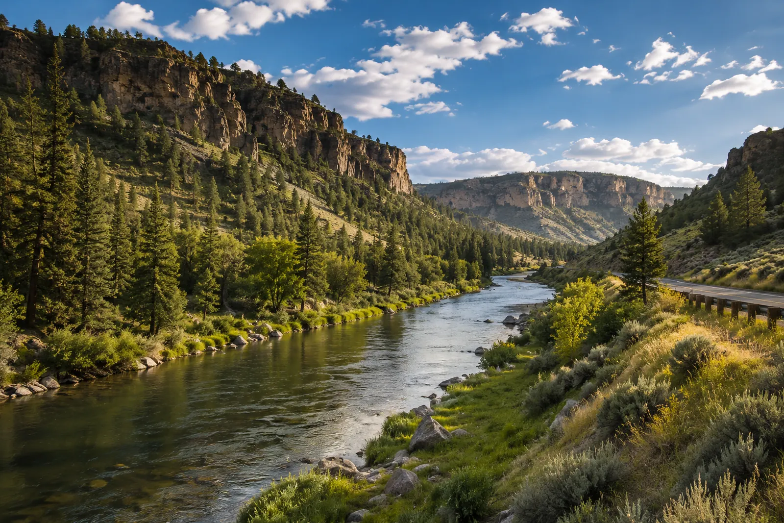 Crooked — Lower CanyonCrooked River · FreestoneLive flow Water temp
 -
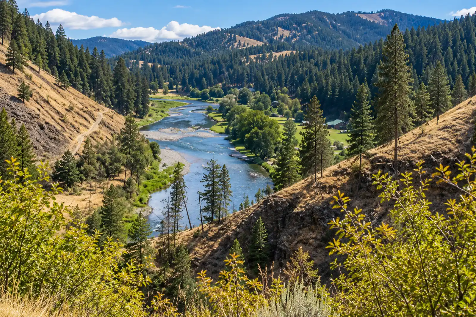 Grande Ronde — TroyGrande Ronde River · MigratoryLive flow Seasonal runs
 -
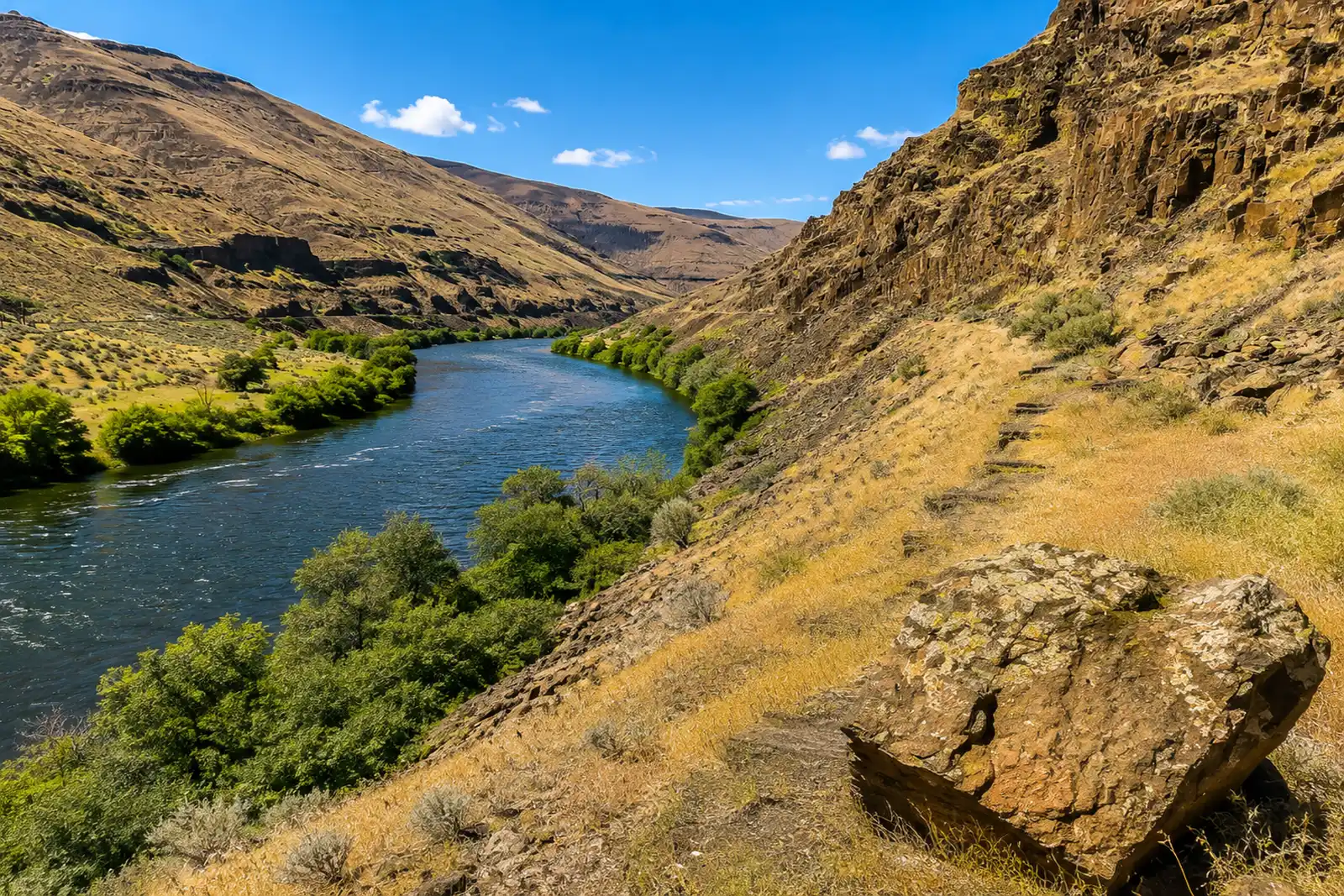 Lower Deschutes — MouthDeschutes River · FreestoneLive flow Water temp Seasonal runs
 -
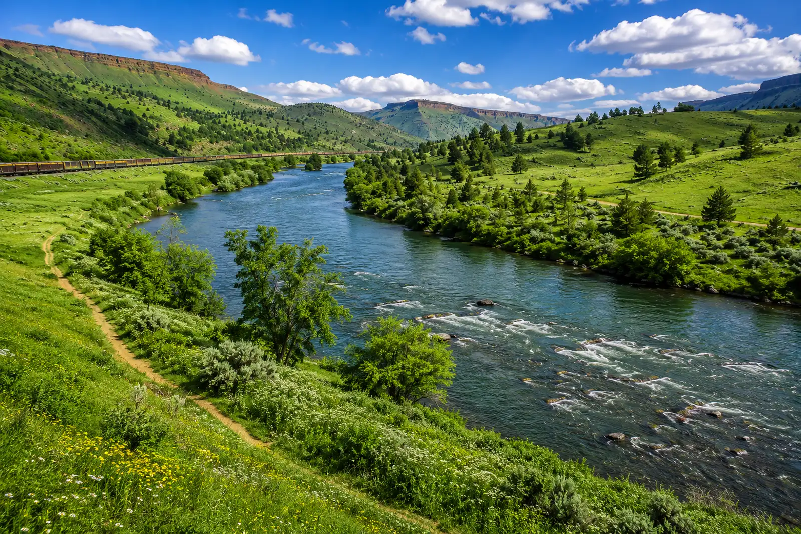 Lower Deschutes — Warm Springs to Trout CreekDeschutes River · FreestoneLive flow Water temp Seasonal runs
 -
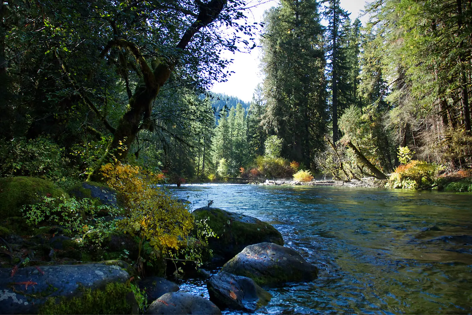 McKenzie — Vida to LeaburgMcKenzie River · FreestoneLive flow Water temp
 -
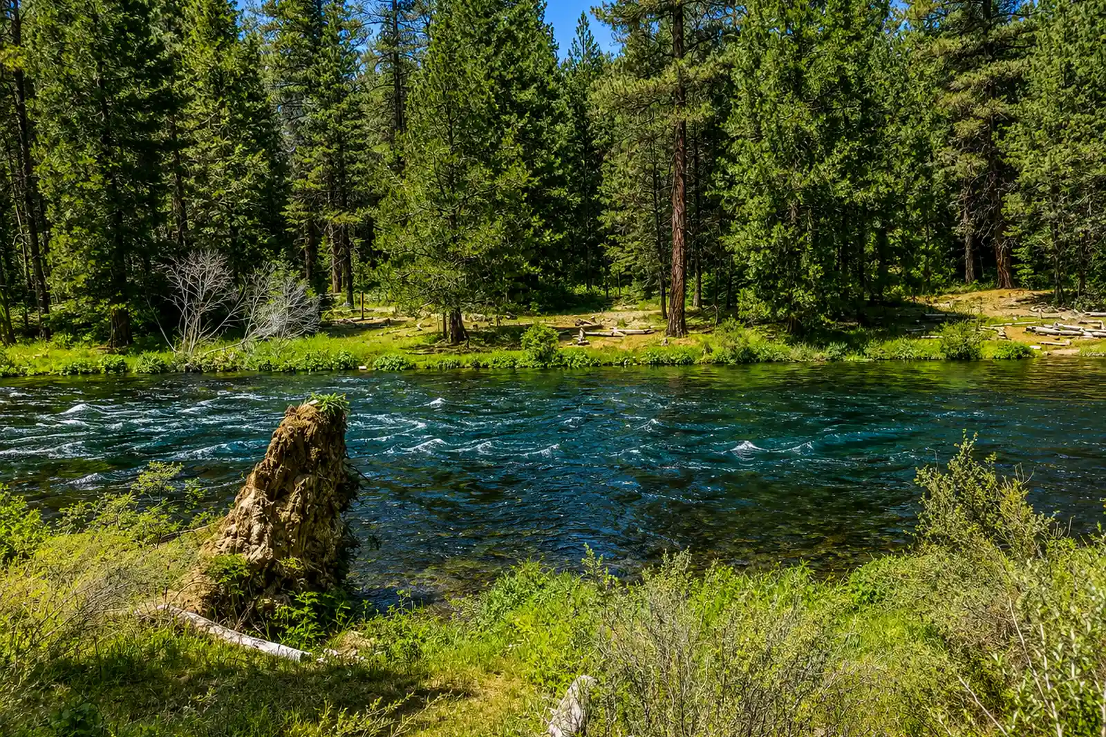 Metolius — Camp Sherman to Bridge 99Metolius River · Spring CreekLive flow Water temp
 -
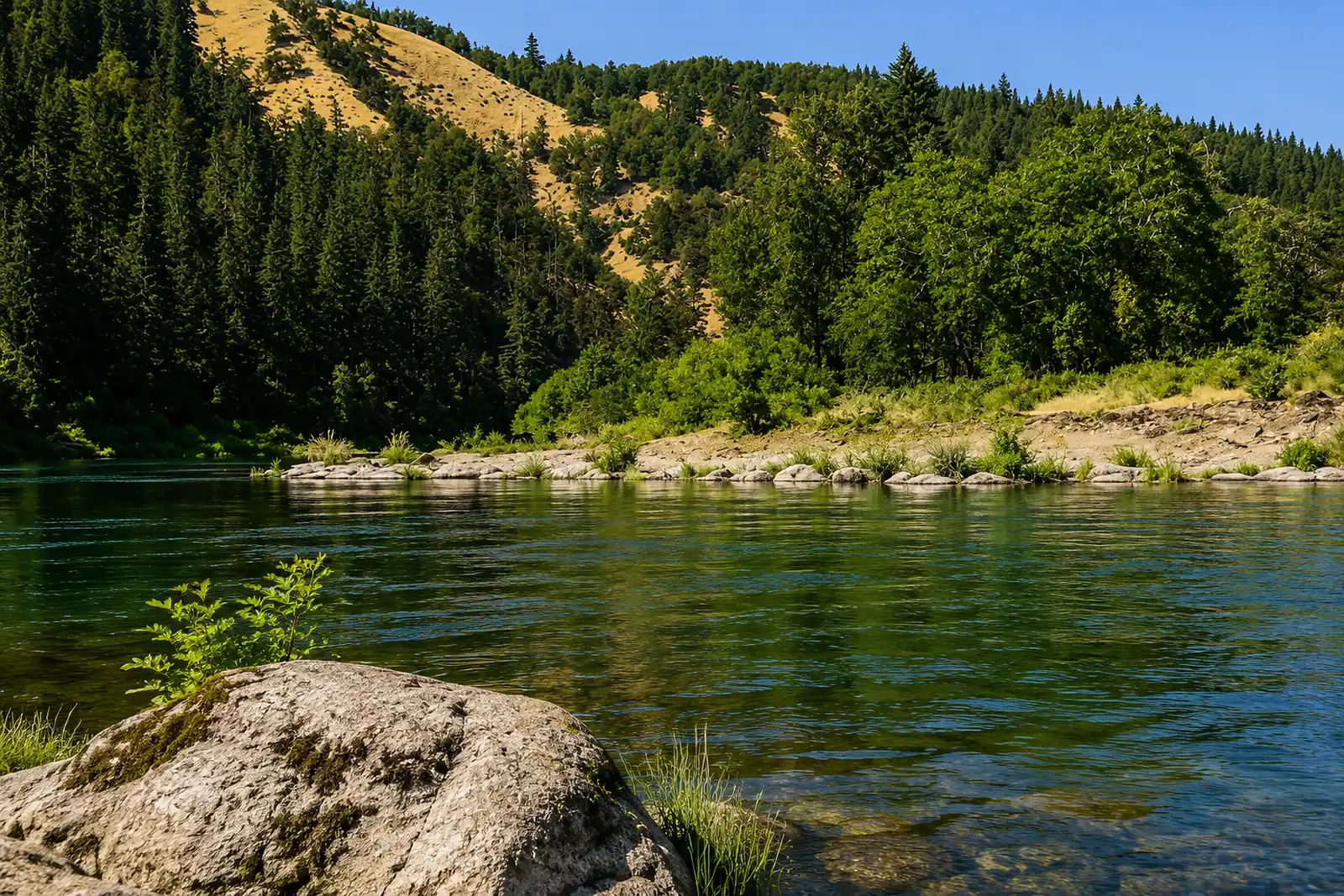 North Umpqua — Fly WaterNorth Umpqua River · FreestoneLive flow Water temp Seasonal runs
 -
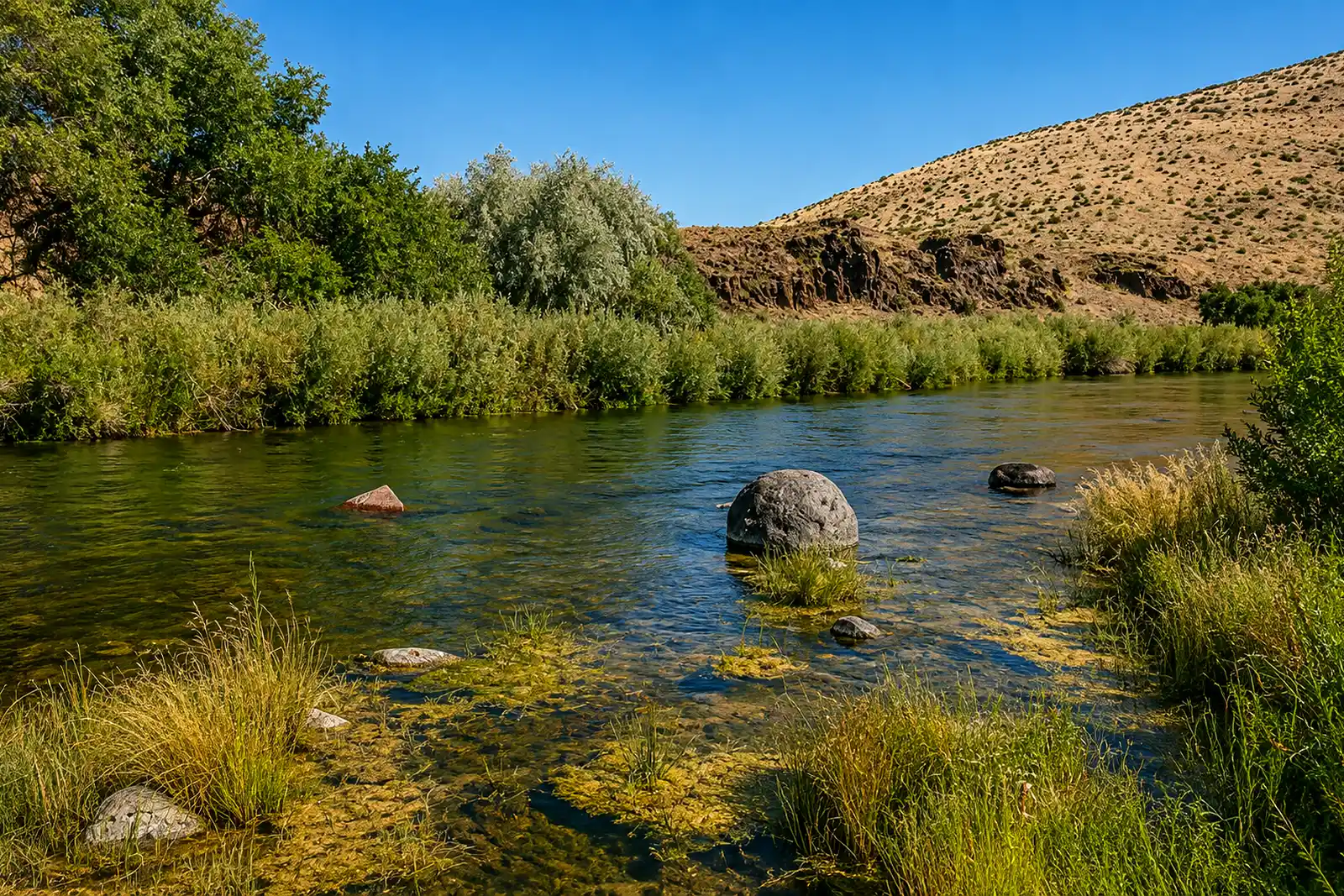 Owyhee — TailwaterOwyhee River · TailwaterLive flow
 -
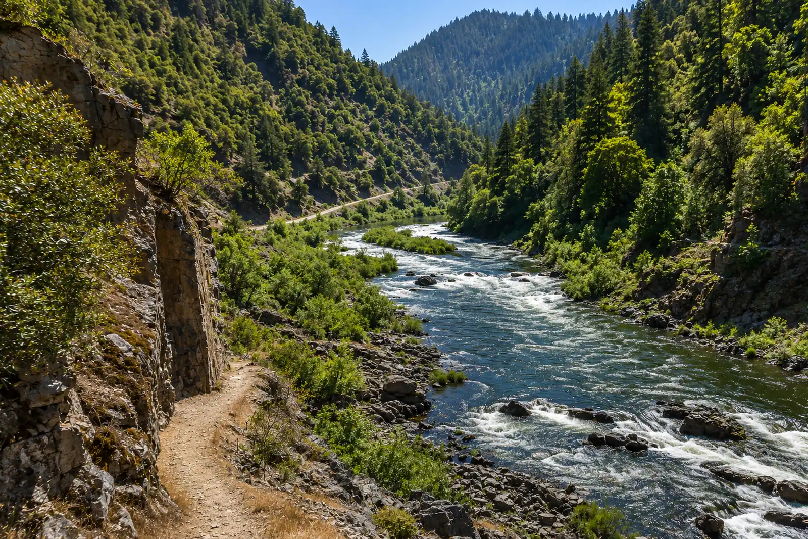 Rogue — Upper (Below Lost Creek)Rogue River · FreestoneLive flow Water temp Seasonal runs
 -
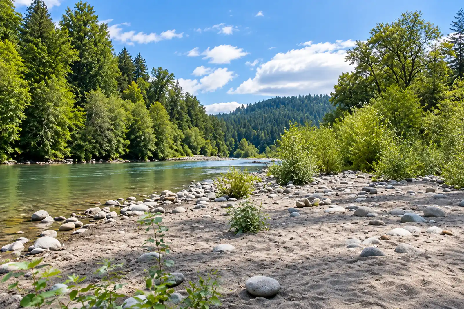 Sandy — Dodge Park to OxbowSandy River · MigratoryLive flow Water temp Seasonal runs
 -
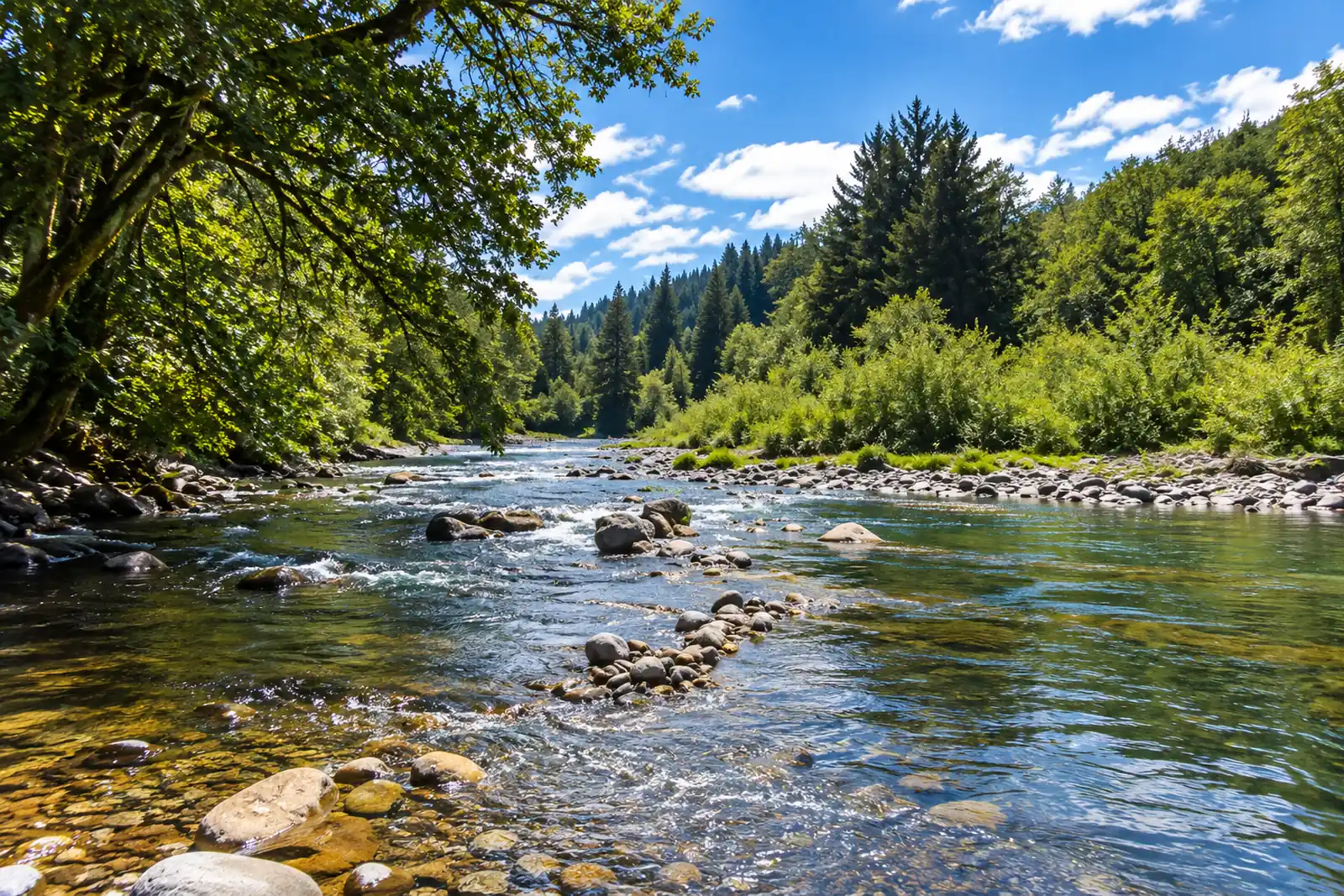 Siletz — Moonshine Park to SiletzSiletz River · MigratoryLive flow Water temp Seasonal runs
 -
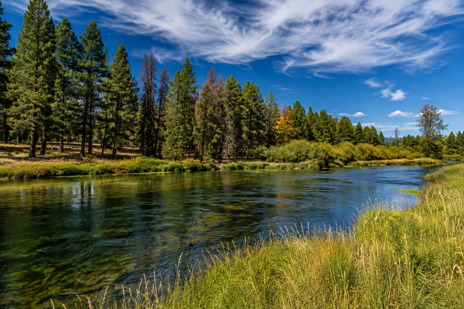 Williamson — LowerWilliamson River · FreestoneLive flow Water temp
 -
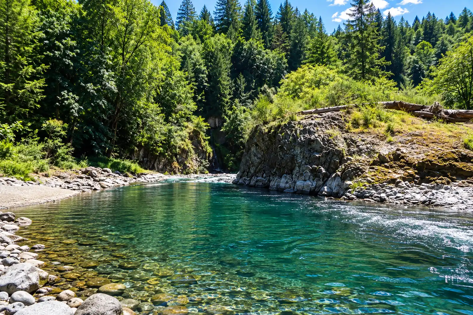 Wilson — TillamookWilson River · MigratoryLive flow Seasonal runs
All of them on one map
Every supported stretch, with its current status and any agency closure on the pin itself — so a closed water reads closed before you tap it. One tap from there opens directions to the reach's verified coordinates, never to the gauge downstream of it.
Distance is straight-line. RiverFinn has no routing data and never claims a drive time.
Don't see your river?
Ask for it from inside the app. Requests are grouped by river and decide what RiverFinn investigates next — whether a water can be supported depends on gauges, thermometers and agency sources, so demand alone never adds one.
Every one of these, in your pocket.
All of them free in the app, in full — the rating, the readings and every closure. RiverFinn Pro adds the window, the plan and the ranking.